Alas this isn’t about seeing Avatar live, though I’d definitely love that too (not with the virus though, not anytime soon). This is, on the other hand about climbing three of the Hundred Famous Japanese Mountains in the Northern Alps – and one of them is called Washiba-dake, which would be “wings of the eagle.”
One thing I really appreciate about my job is that I can pretty flexibly rearrange national holidays. This summer for example there was a 4-day weekend. I could work those two holidays and get two days off later in exchange. Which I did.
Why? On the one hand, the virus. While Japan isn’t shutting down, and since the state of emergency this spring ended things have been pretty lax, mountain huts still have lots of limitations. Makes sense: normally in the summer season they’re so crowded people are quite literally sleeping like herrings in a can. On the other hand, the crowd: even with the virus around, you can be certain that people will be in the mountains on a long holiday. That and the limited capacity of the huts this season means that the huts are “booked out” months ahead on long weekends.
So instead I reorganized my holidays so that I can be in the mountains when the crowds can’t. And it worked out splendidly! At least that aspect of it… Because instead of the crowds I had to face heavy rain. So heavy it literally washed away some of the mountain roads. Night buses weren’t running so I had to leave the day before and stay at the foot of the mountain. Luckily Shin-Hotaka is a really nice place.
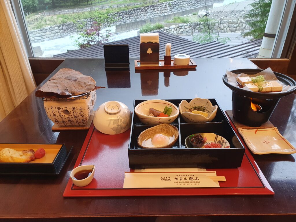
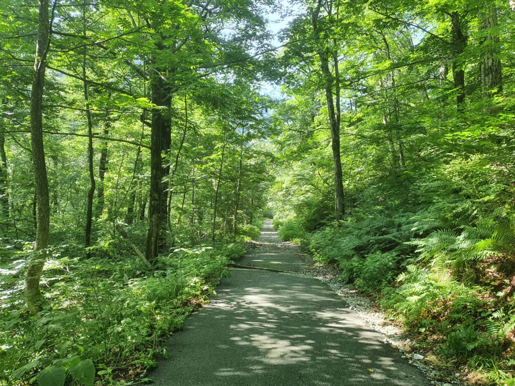
The rain was still coming in though, so I had breakfast looking at the roaring river, donned my rain gear and started off. While it was just drizzling at that point, it’d rain all night before so there was plenty of water all around still. The road up to the trailhead included.
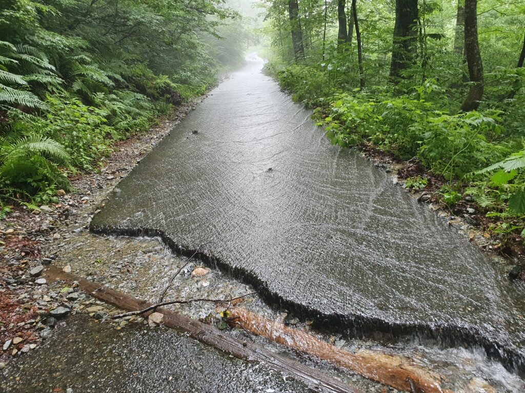
All the way up from Shin-Hotaka it was raining on and off, so I just strapped my rain jacket on my bag when it stopped knowing I’d need it in five minutes again. As I gained altitude I entered the cloud too meaning everything was wet anyway. Things didn’t change much even when I reached the ridge (where there were patches of snow even the end of July!) as apparently the clouds were rolling in from the other side.
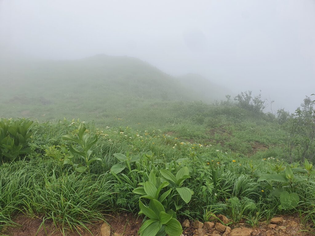
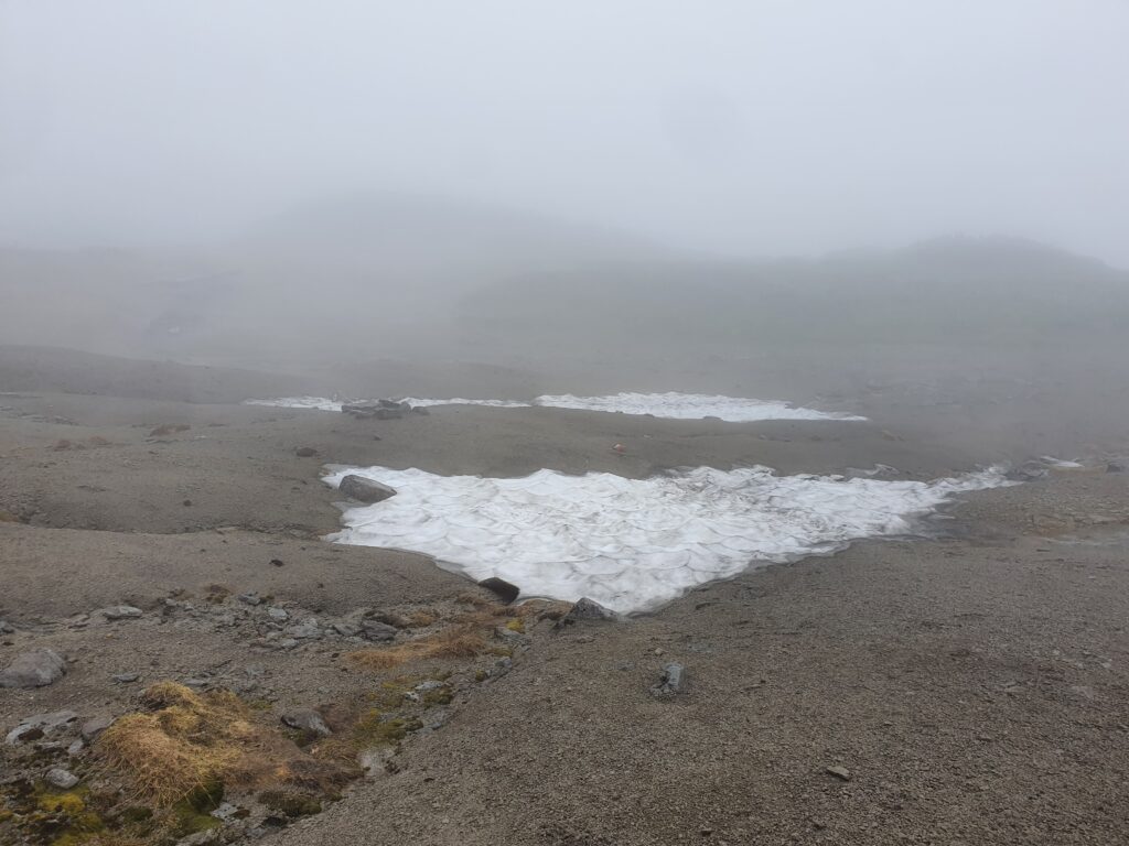
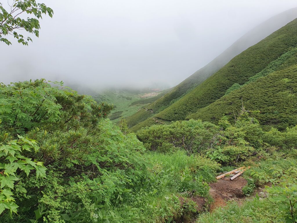
It was some relief when I spotted the mountain hut (Sugoroku, named after the peak above) under the cloud layer. There was hope! And indeed, when I reached the hut, quite the scenery awaited me (though not cloud-free). By the time the sun was setting, I even caught a glimpse of the titular Mt Washiba!
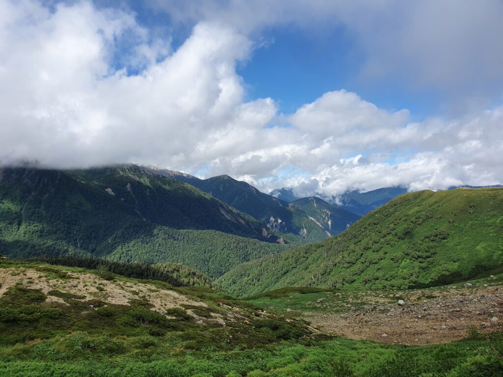
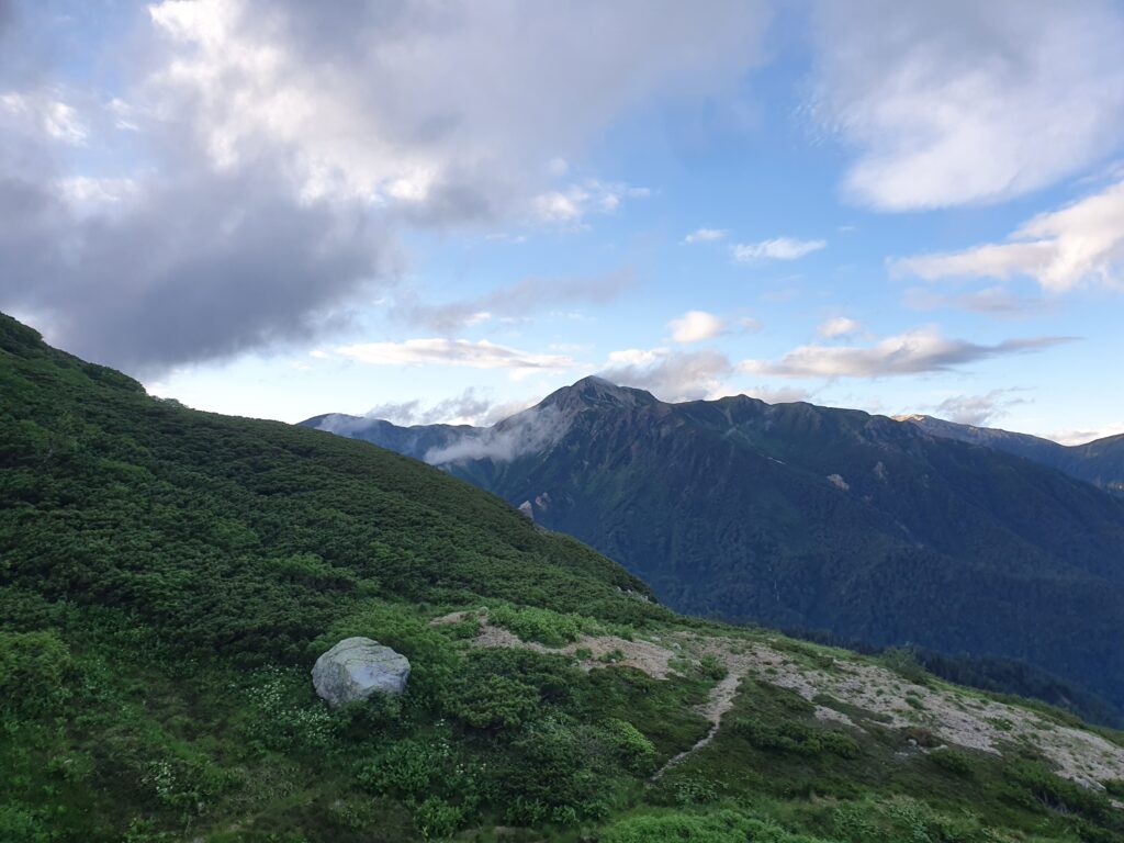
Sadly the morning didn’t welcome me with sunshine, but the same layer of clouds above. A layer of clouds I’d have to climb into if I wanted to reach my first peak, the aforementioned Mt Sugoroku. And that was kinda the point, so rain gear on and into the cloud! From there it was a relatively flat ridgeline all the way to Mt Mitsumata-Renge
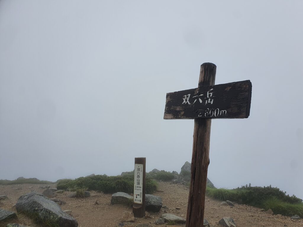
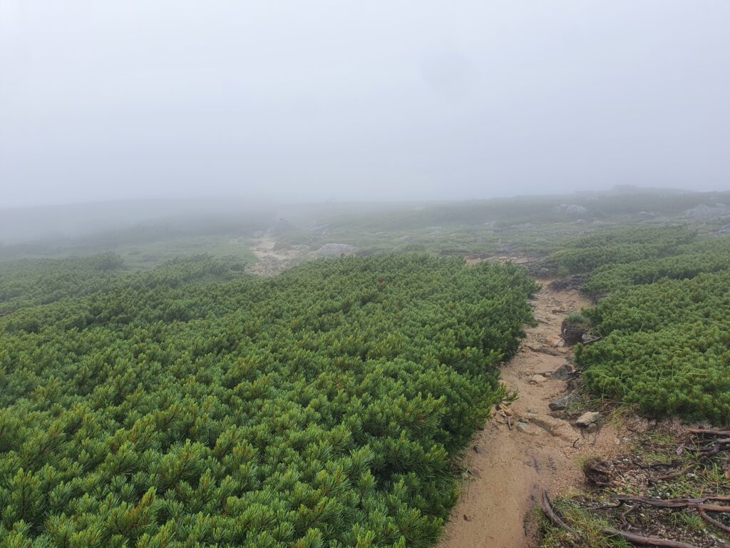
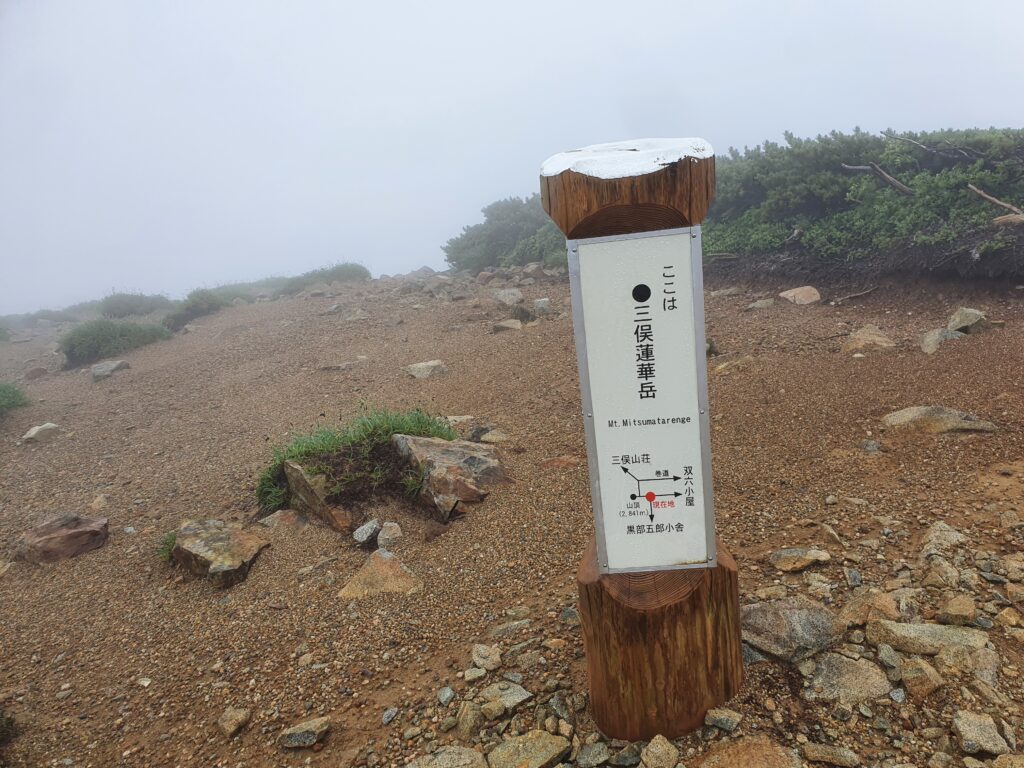
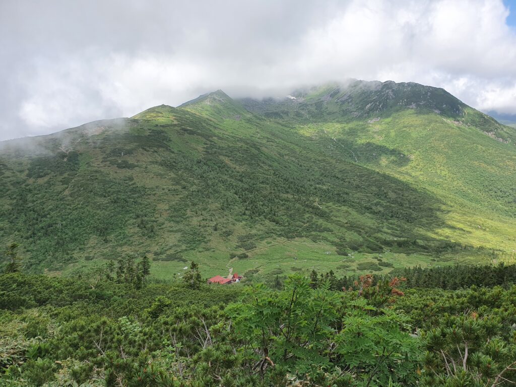
From there the trail led down, as there is a pretty huge drop between there and my next destination, Mt Kurobe-Goro. When I actually saw the pretty steep col (with my lodge for the night at the bottom) that was quite the “oh fuck” moment. But I got down and then started going up again on the other side.
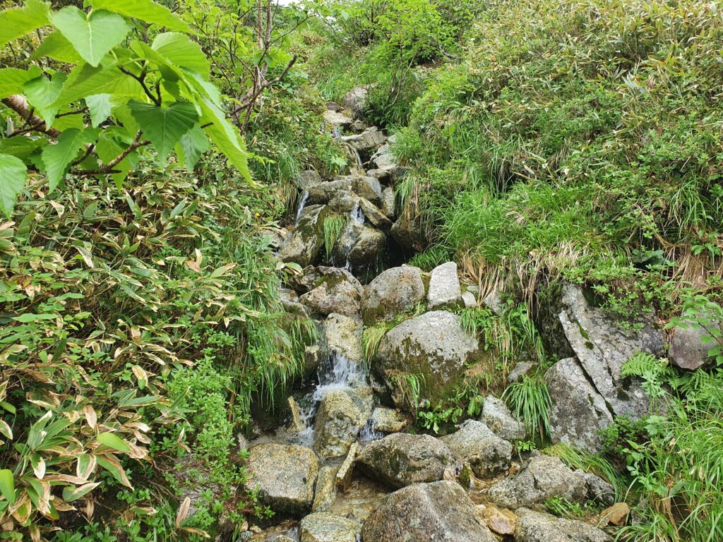
The trail was… not much of a trail. It’s marked with a dashed line on the map so I expected it won’t be a joyride, but because of the rain it pretty much turned into a stream. Once I got over the steep bits, it turned into a rock-hopping exercise instead. While not particularly “difficult” I’m sure it’s easy to sprain an ankle there.
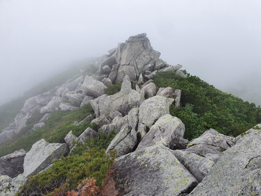
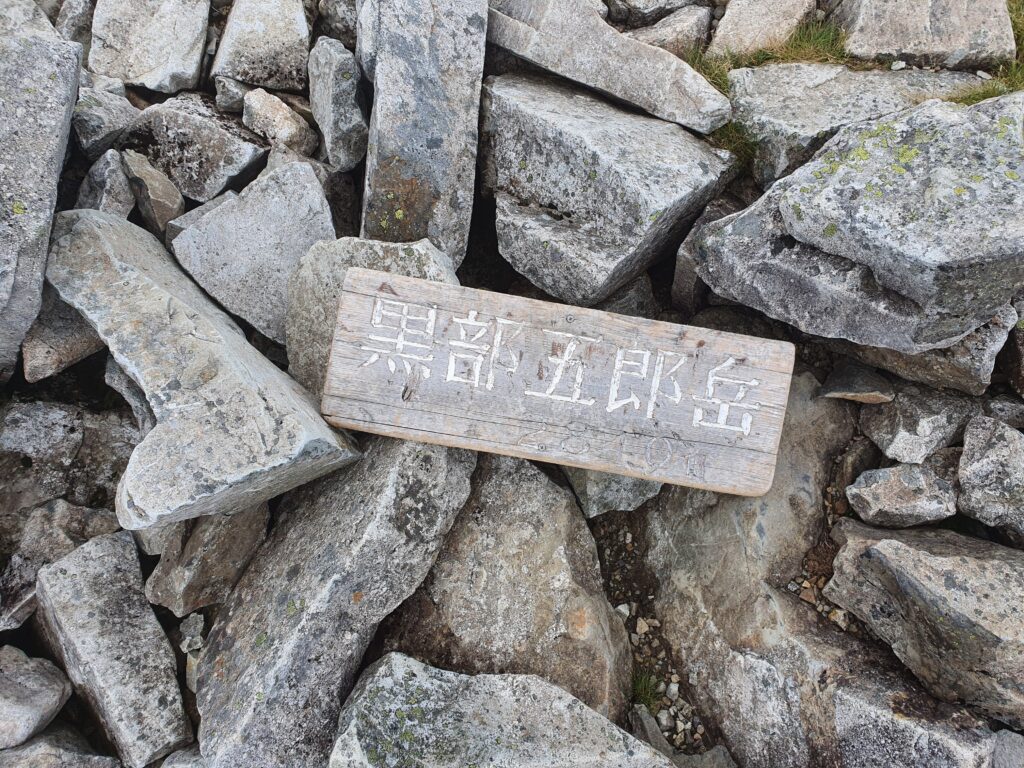
After quite a lot of up and down I finally made it to the peak of Mt Kurobe-Goro. It was quite a draining exercise so on the way down I paced the “common” trail as fast as I could back to the hut and rest. The descent into the mountain’s cirque was kinda similar to the mountain passes in the foothills of Elbrus (sans the cows).
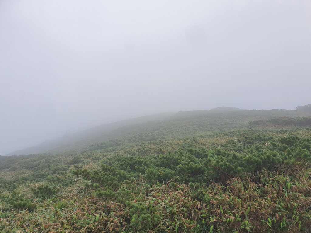
The next day once again started with climbing into the clouds. While it wasn’t raining at all, the wind and the humidity made it feel quite cold for the first day of August. Since it was gonna be a long day, I decided to conserve my strength by traversing the side of Mt Mitsumata-Renge instead of going over the top. And surprise! During the traverse the clouds broke up. Suddenly I could see all around from Mt Kurobe-Goro behind me to Mt Yakushi in the distance.
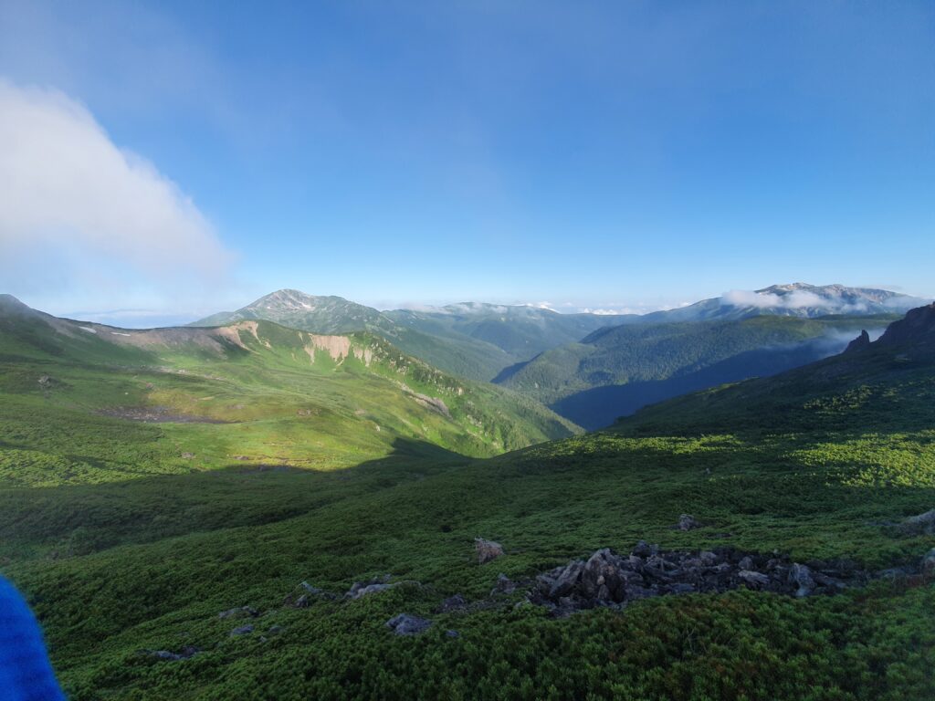
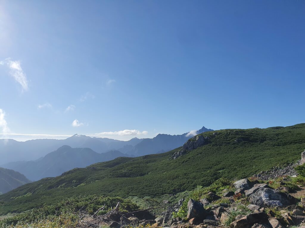
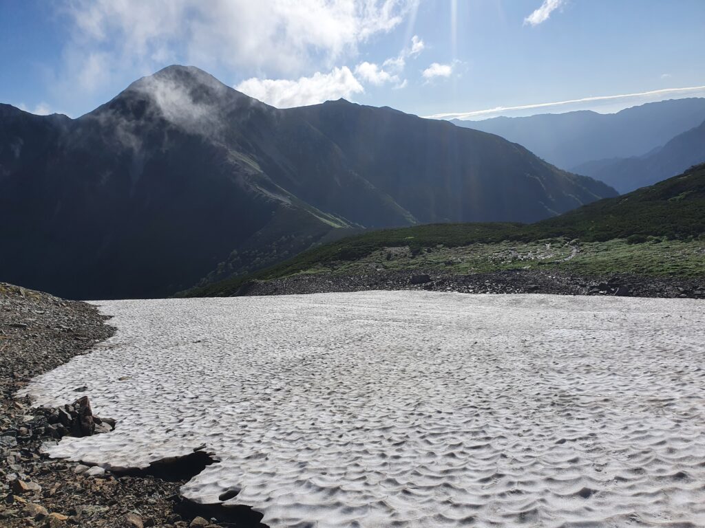
After crossing a snow field, it was a short walk to the mountain hut from where I started ascending Mt Washiba right away. The path was going up the ridge pretty much straight, so it was quite steep.
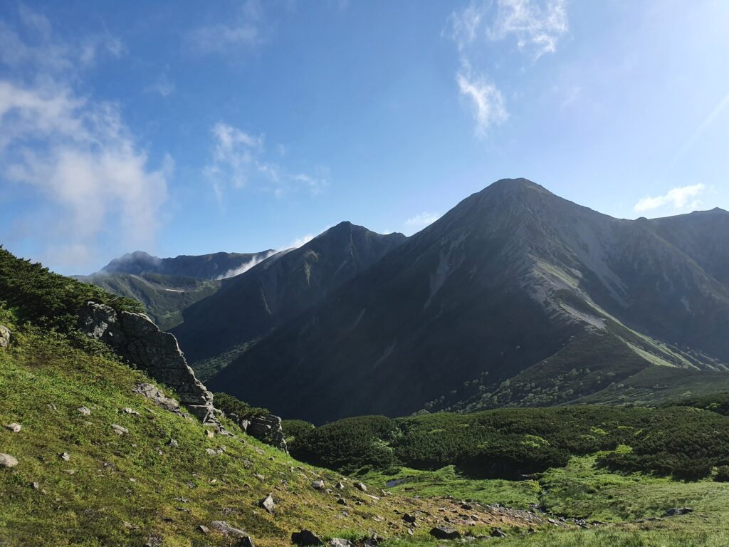
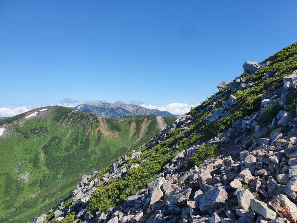
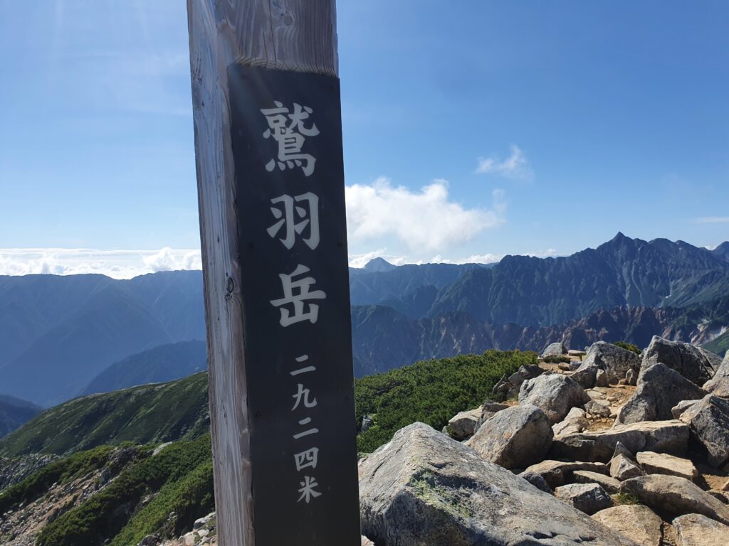
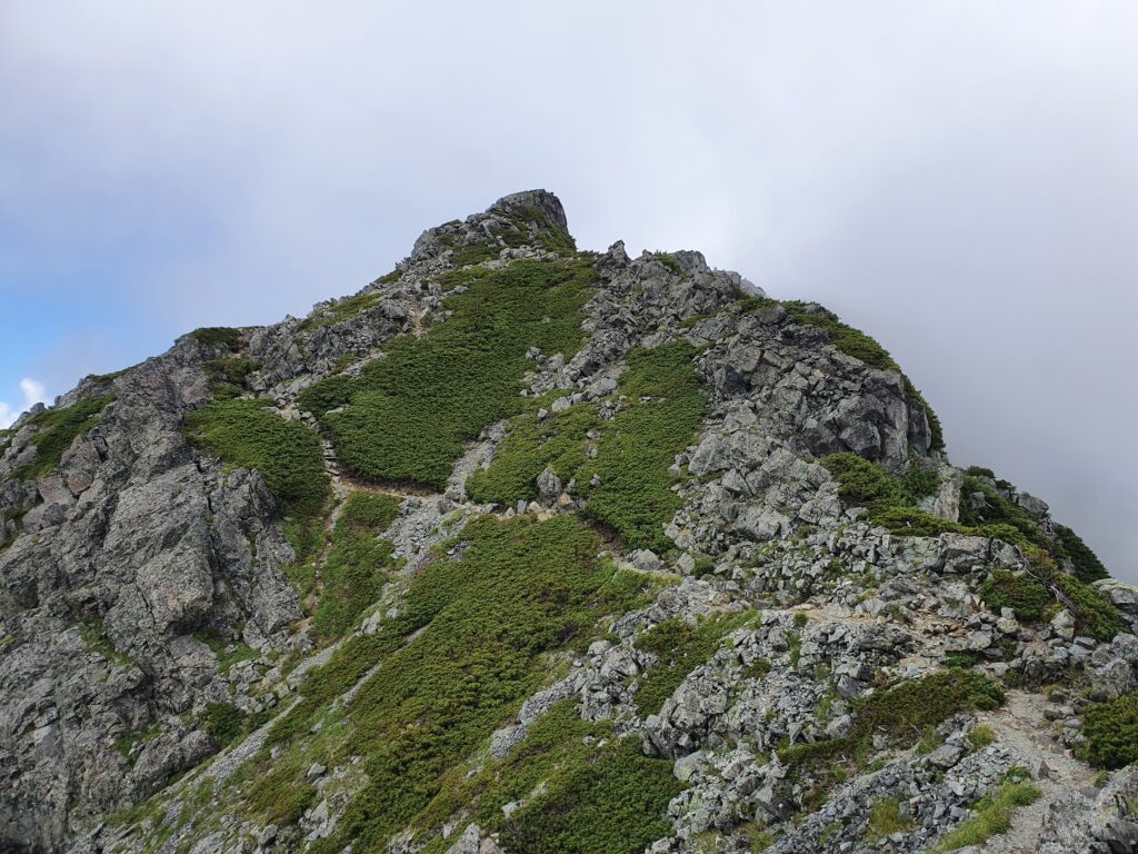
From Mt Washiba I first descended and passed Mt Warimo, a rocky and fun peak along the trail. Then more descent and after a branch in the trail I started up Mt Suisho (also known as Mt Kuro). It was much longer and much more exciting than I expected. The rocky peak stands at 2986m and if the weather is nice you can see all the way to Mt Tate in the north. That bit the clouds denied me.
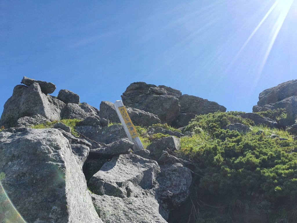
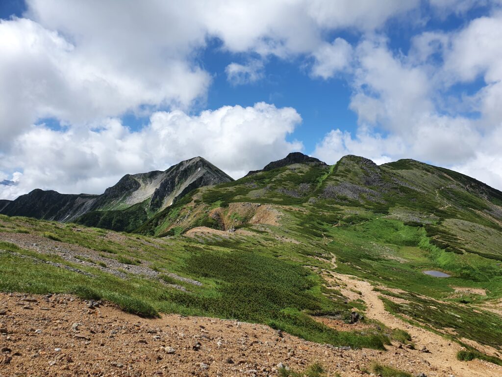
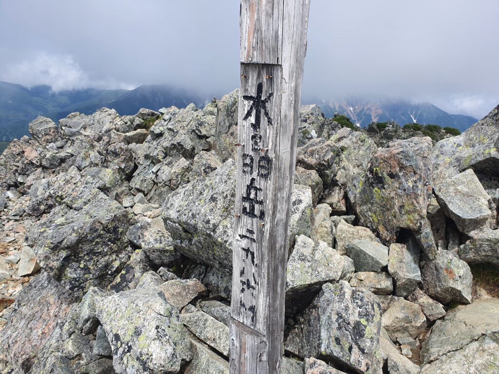
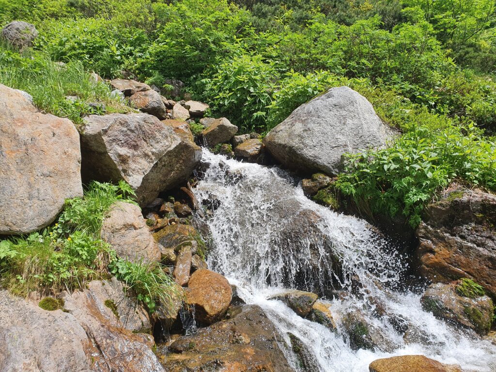
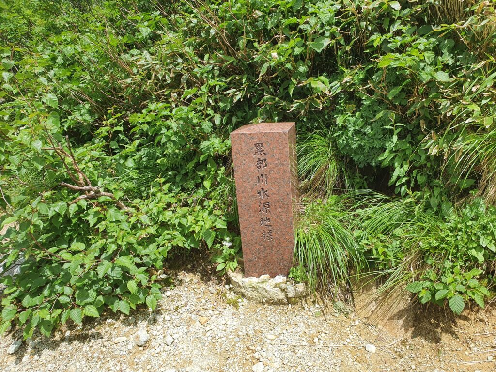
On the way back instead of climbing back up Mt Washiba, I descended into the valley where the source of the Kurobe river is. Because of the rain the days before it was quite a wet experience. Then I climbed back up to the Mitsumata-Renge hut and traversed back to the Sugoroku hut without going back up the ridge again. At that point I’d been walking for 10 hours so the idea of some rest was very inviting.
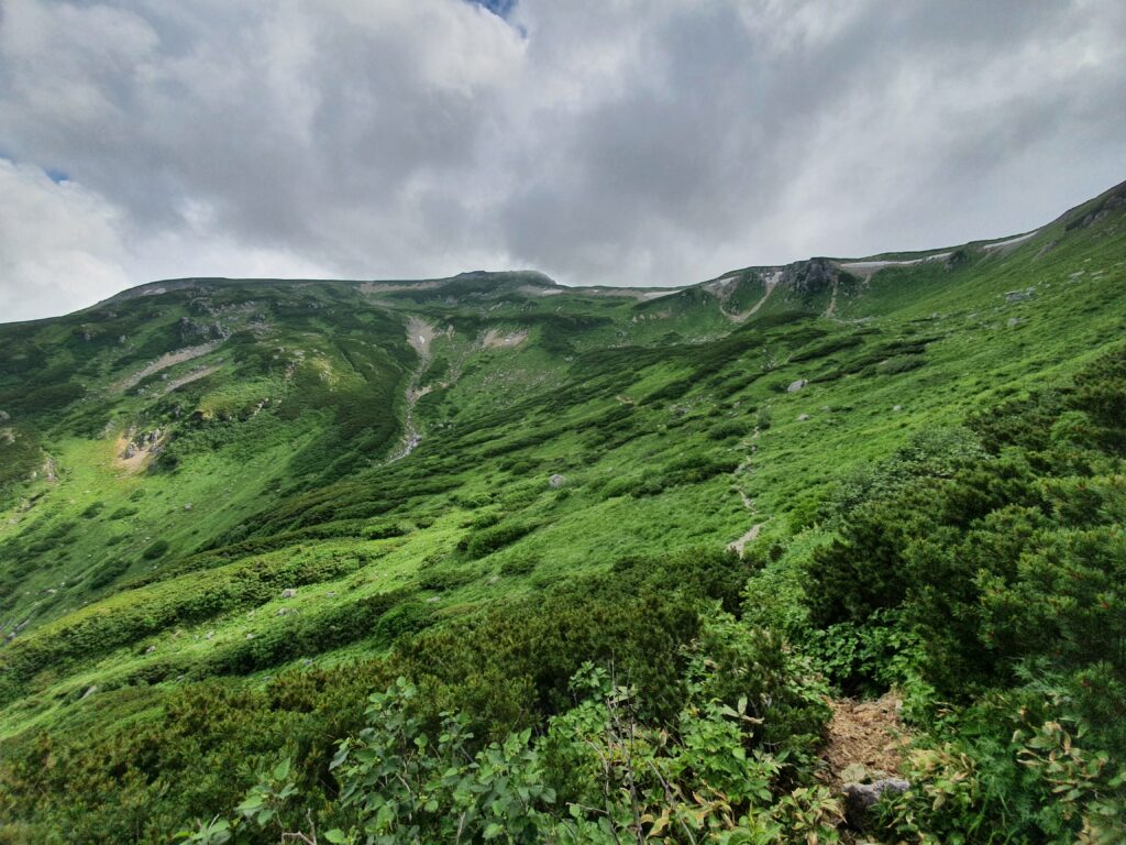
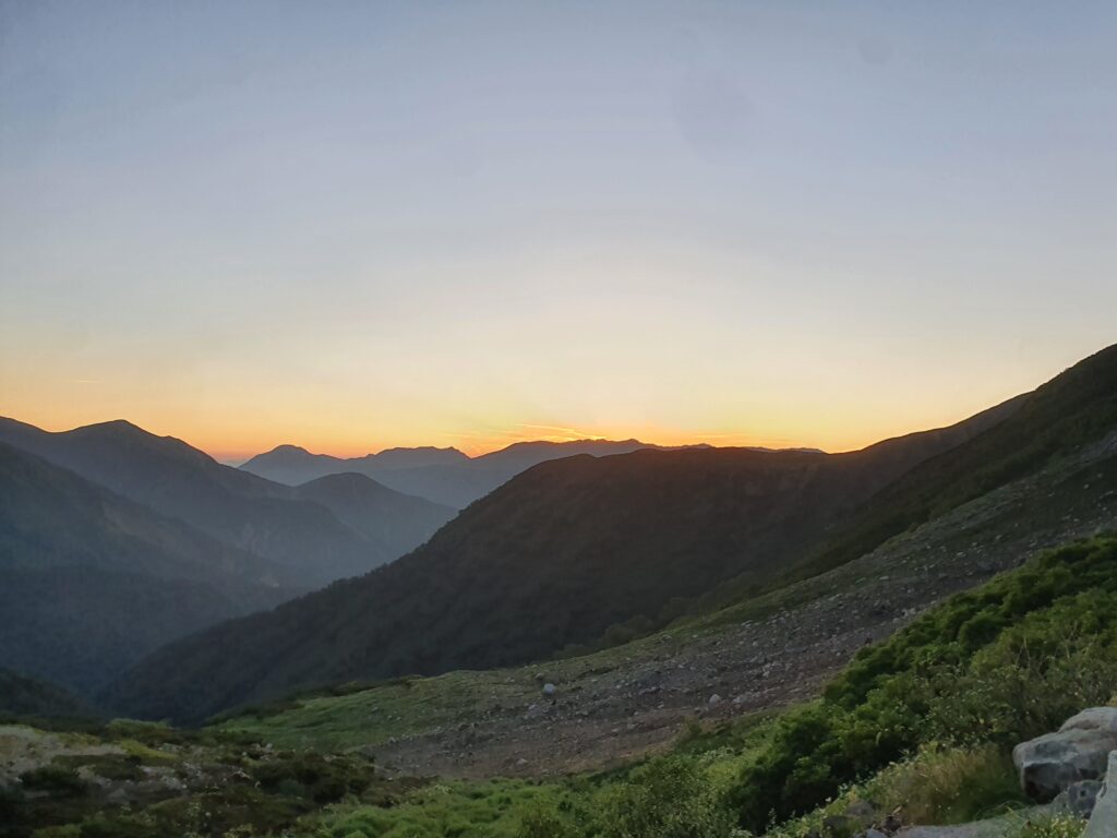
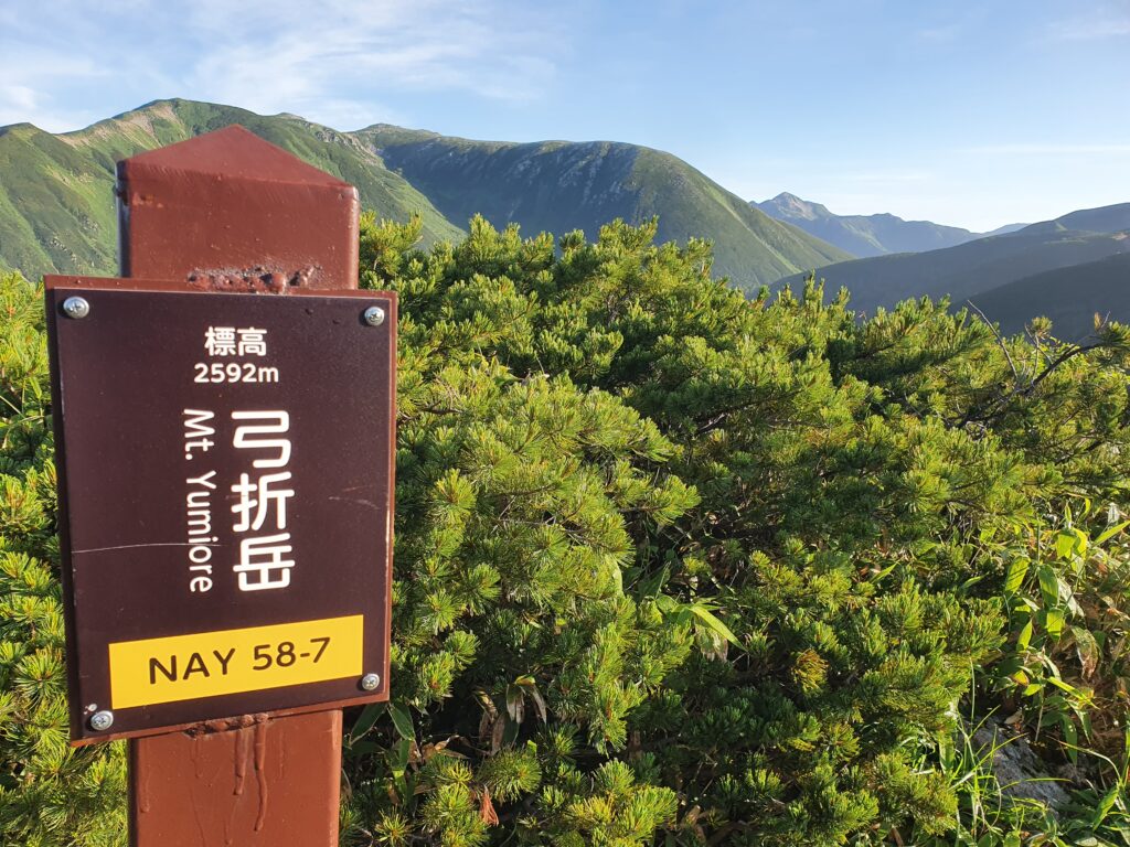
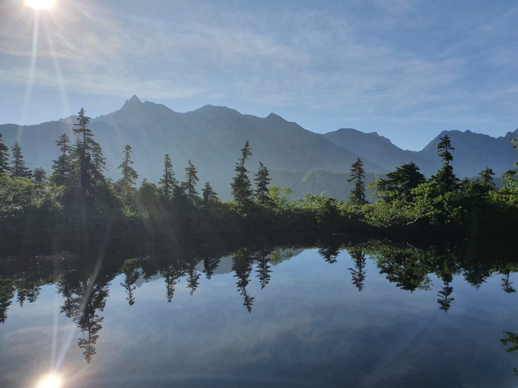
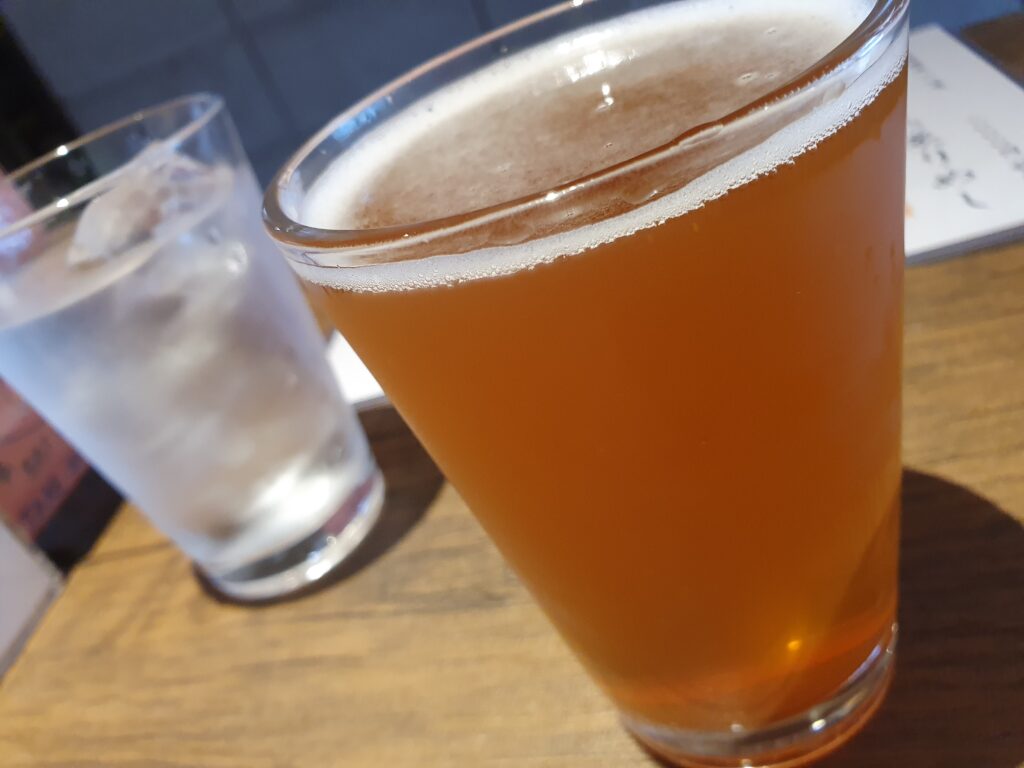
The next day I started early and went back down the way I came up. Unlike then, the weather was perfect. On the ridge I visited the Yumiore peak then dropped into the valley. At the Kagami (mirror) pond I could really see the reflection of Mt Yari as advertised (on the way up it was all gray). I was back in Shin-Hotaka around 10am and got on a bus right away. First a bath in Hirayu, then sightseeing in Takayama ensued (with some local craft beer involved).
