Much rest wasn’t planned. Maybe eat something nice, drink a beer and enjoy a hot spring and get some sleep in a bed for a change. More important was doing my laundry and refilling water. The previous four days in the Ushiro-Tateyama range were fun, and I was up for more.
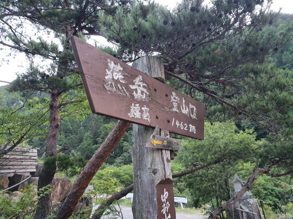
I was at the Mt Tsubakuro trailhead at the Nakafusa hot springs before 6am. I planned to take the bus (which would get there a little later), but instead a bunch of us hailed a taxi, which ended up cheaper and faster (for 4 people).
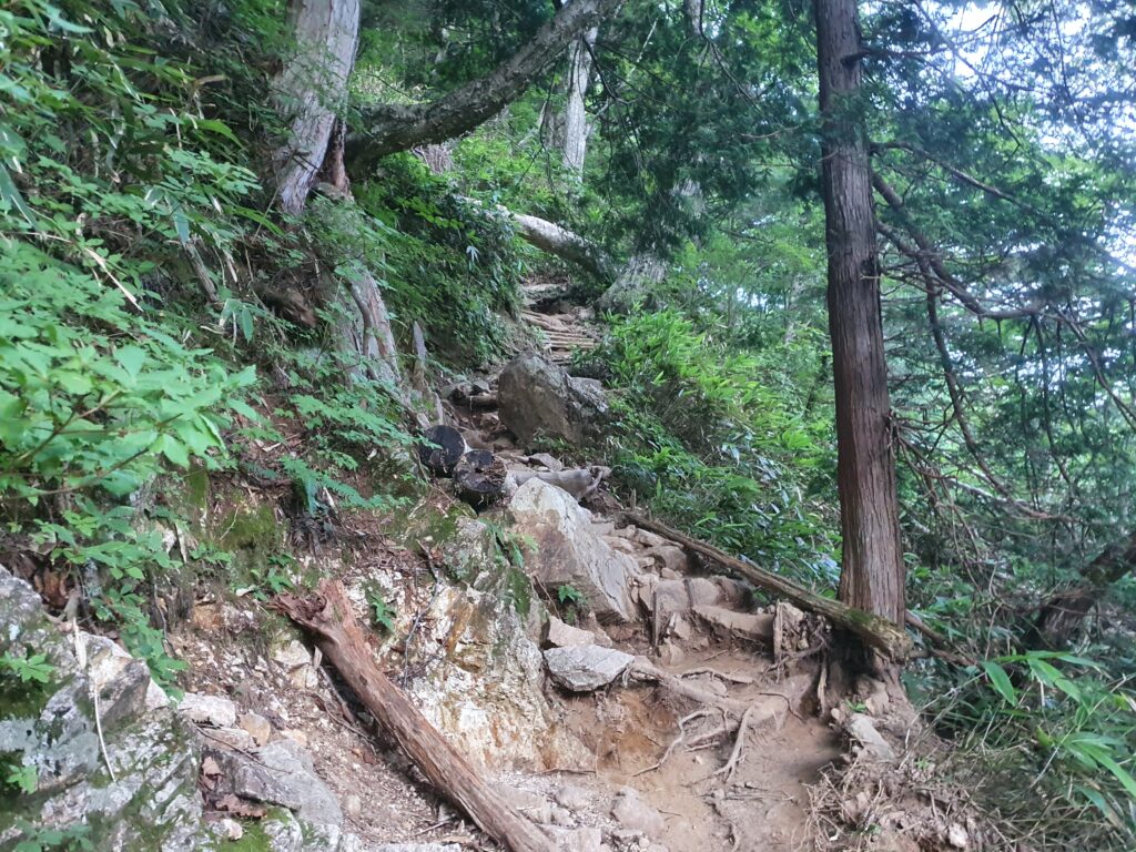
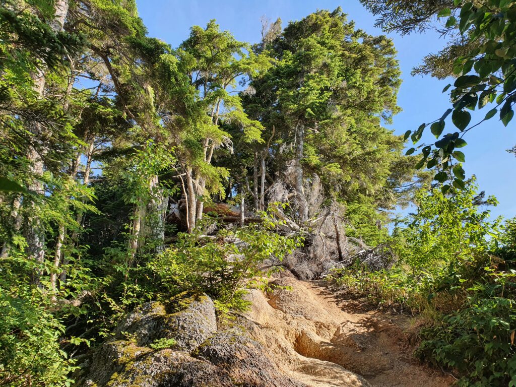
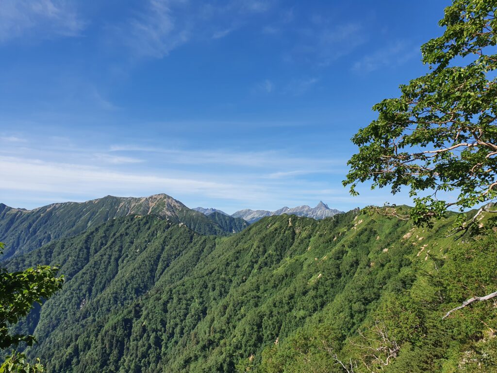
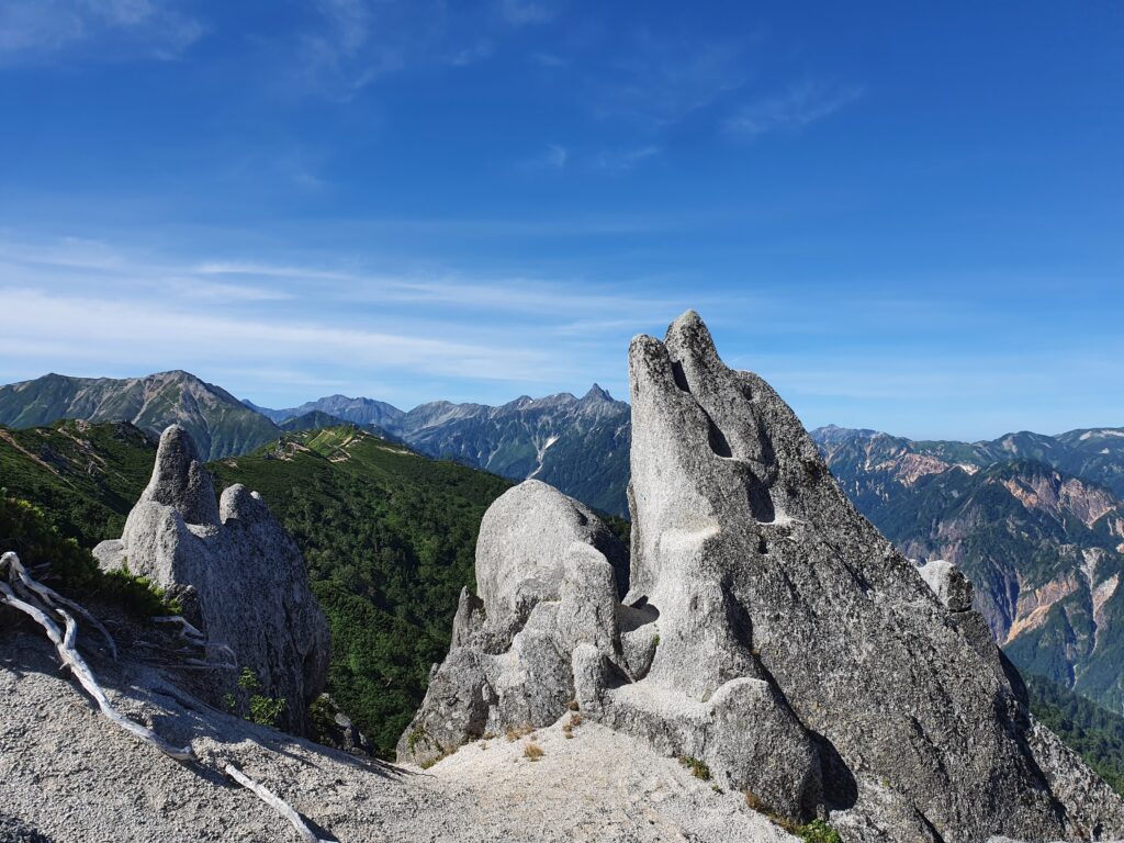
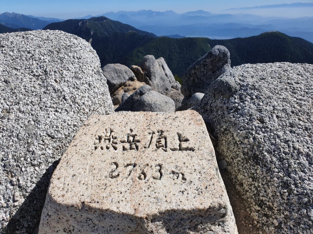
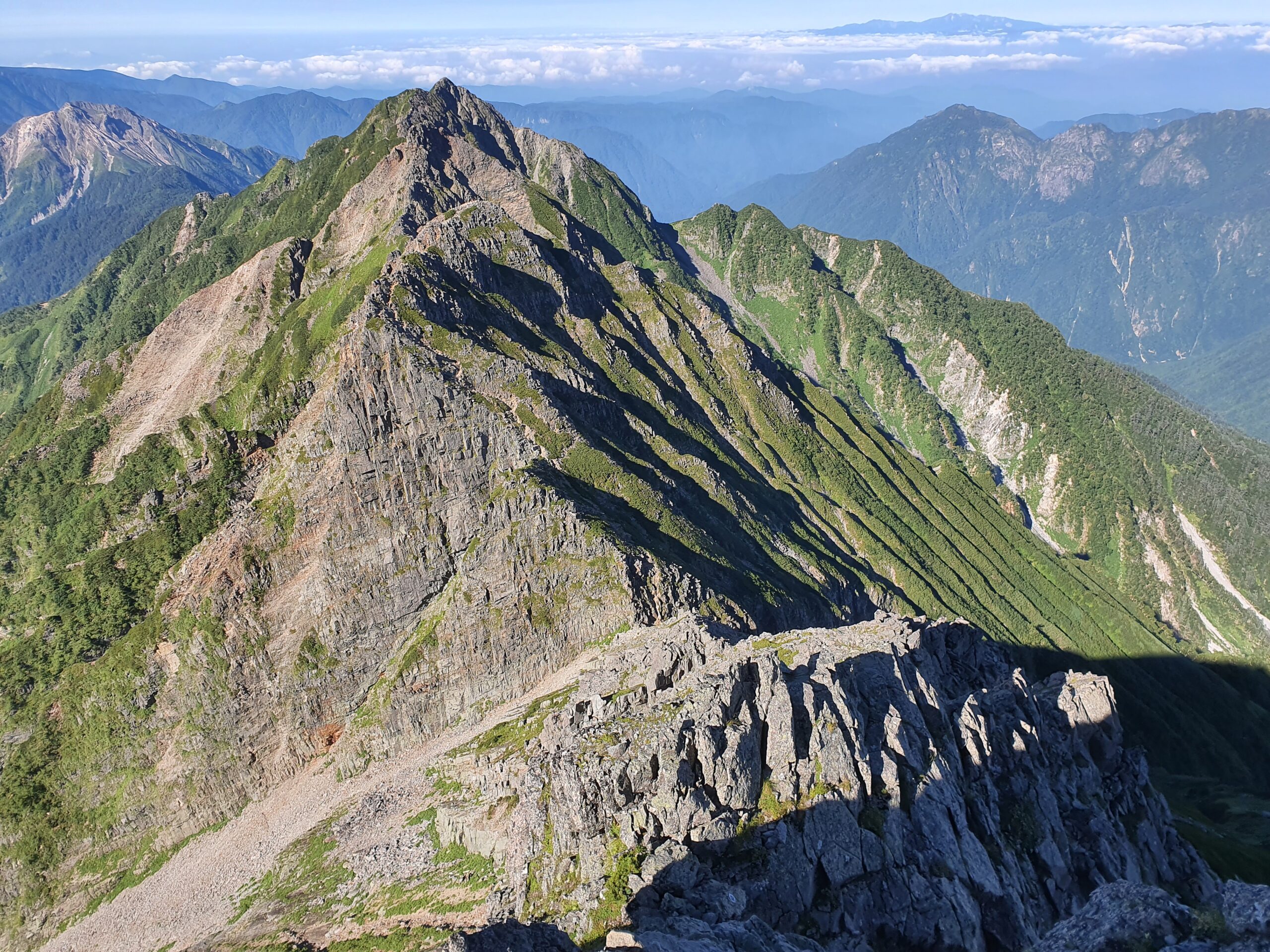
Once I reached the ridge, I headed straight for the Tsubakuro summit. The weather was clear so I could see all the way from Mt Fuji in the south to the range in the north I just traversed the days before. A few more pictures later I headed back along the ridge to the Enzanso hut where I took a little break. The climb up is pretty steep and I pushed a quick pace.
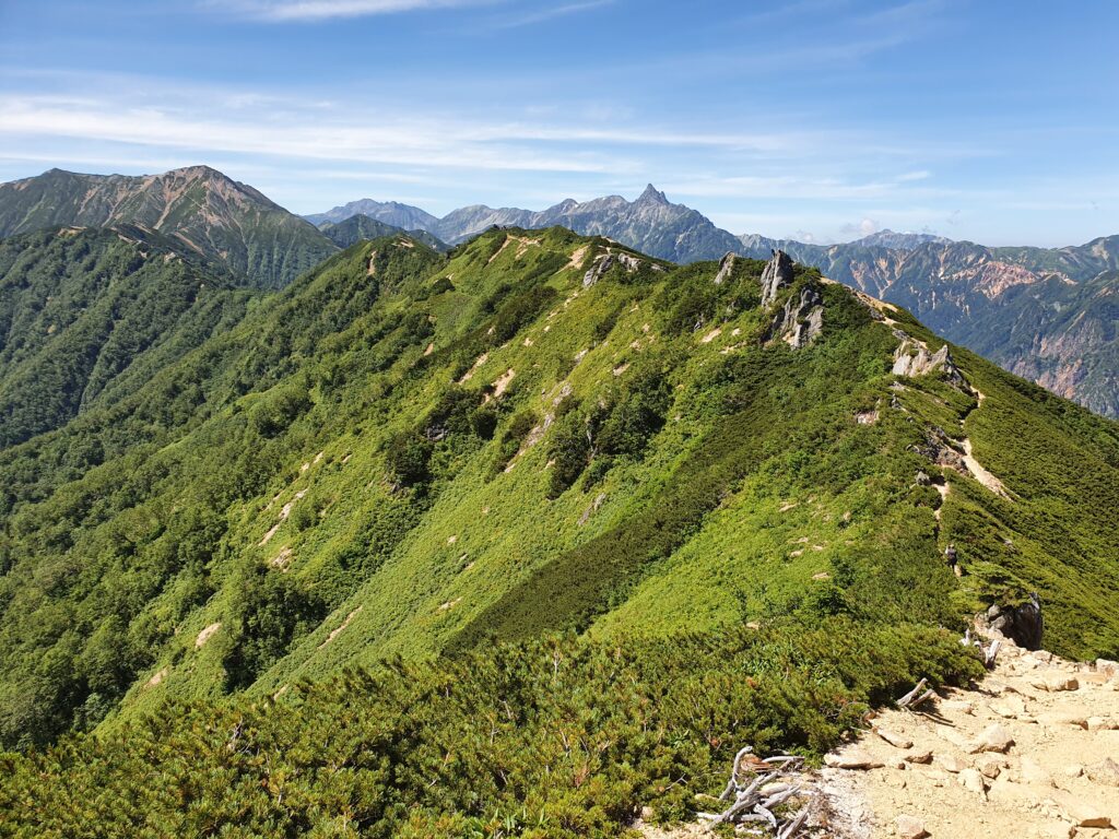
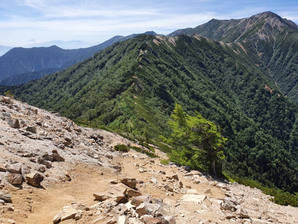
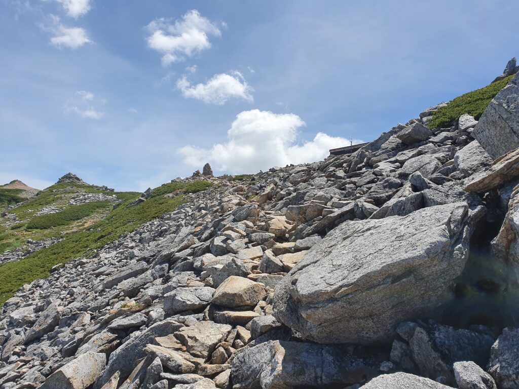
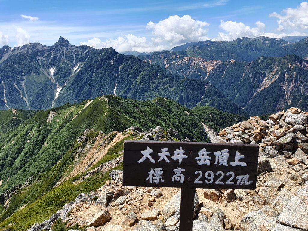
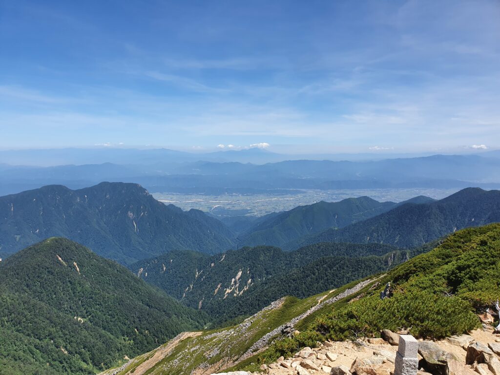
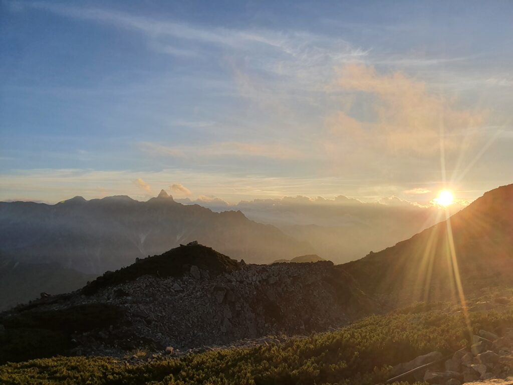
The trail from there heads along the ridge towards Mt Otensho, where I’d spend the night. All the way it was Mt Yari to my right and Mt Fuji in the distance on my left. The path is pretty straightforward with only a few places with chains or ladders. Of course it has plenty of ups and downs, but even after the final climb up to the Daitenso hut I was feeling pretty strong. I started earlier than planned and maintained a good pace so I was chilling in the hut before 1pm. Plenty of rest.
Mt Otensho was where my route for this time diverged from the route I took the last time two years ago. Then I went on towards Mt Jonen, while now I took the Omote-Ginza route over the Higashikama ridge to Mt Yari.
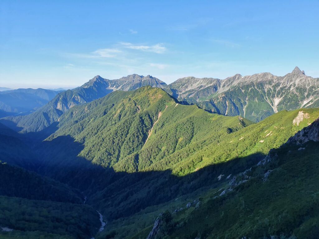
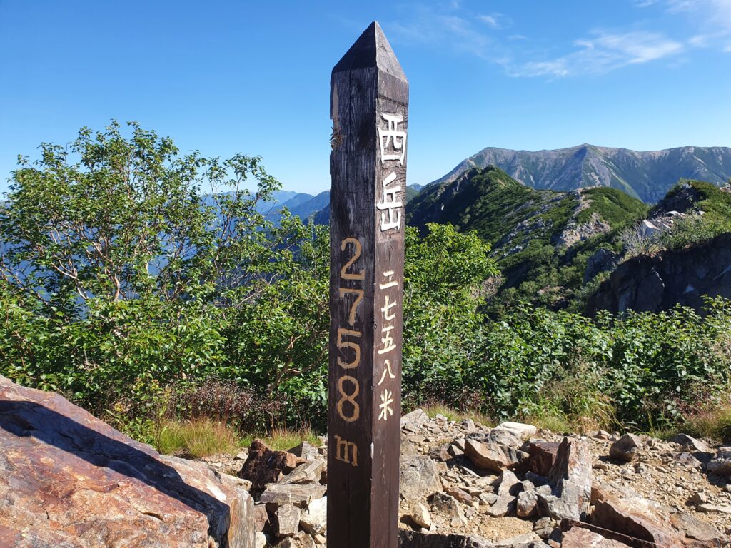
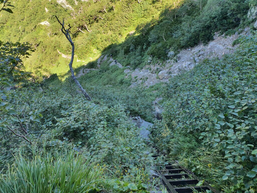
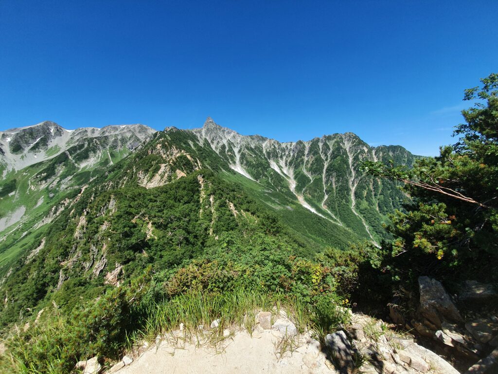
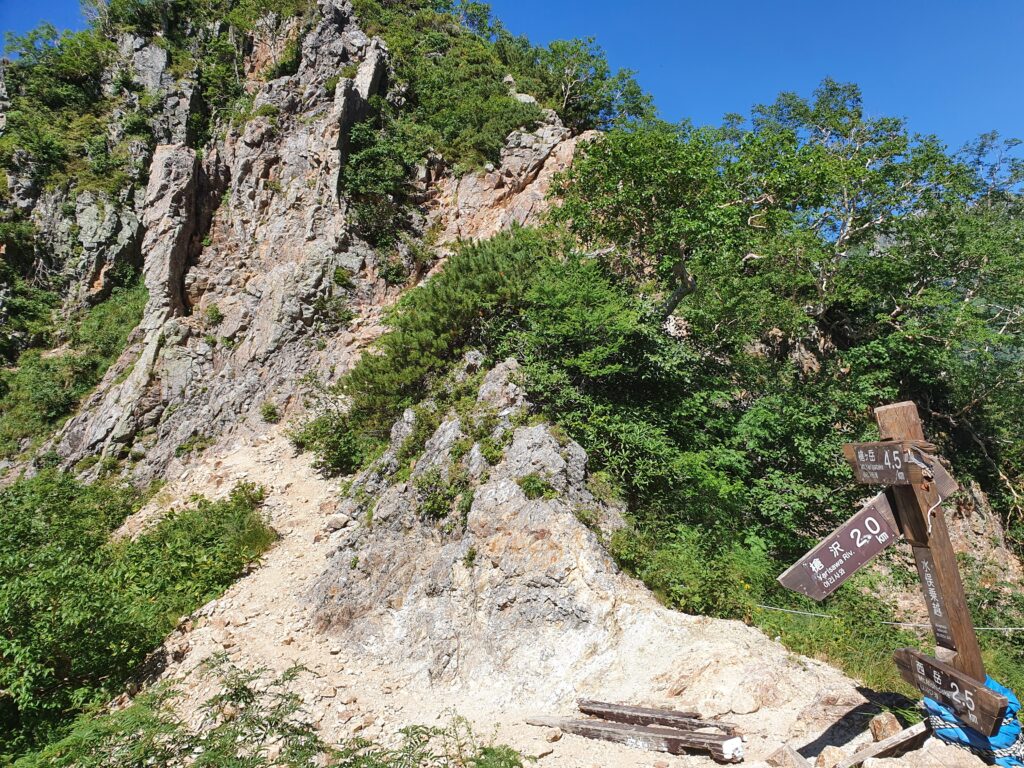
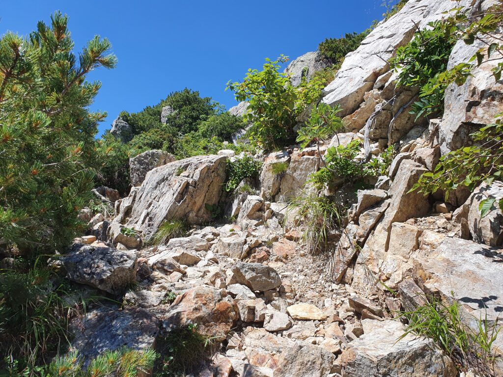
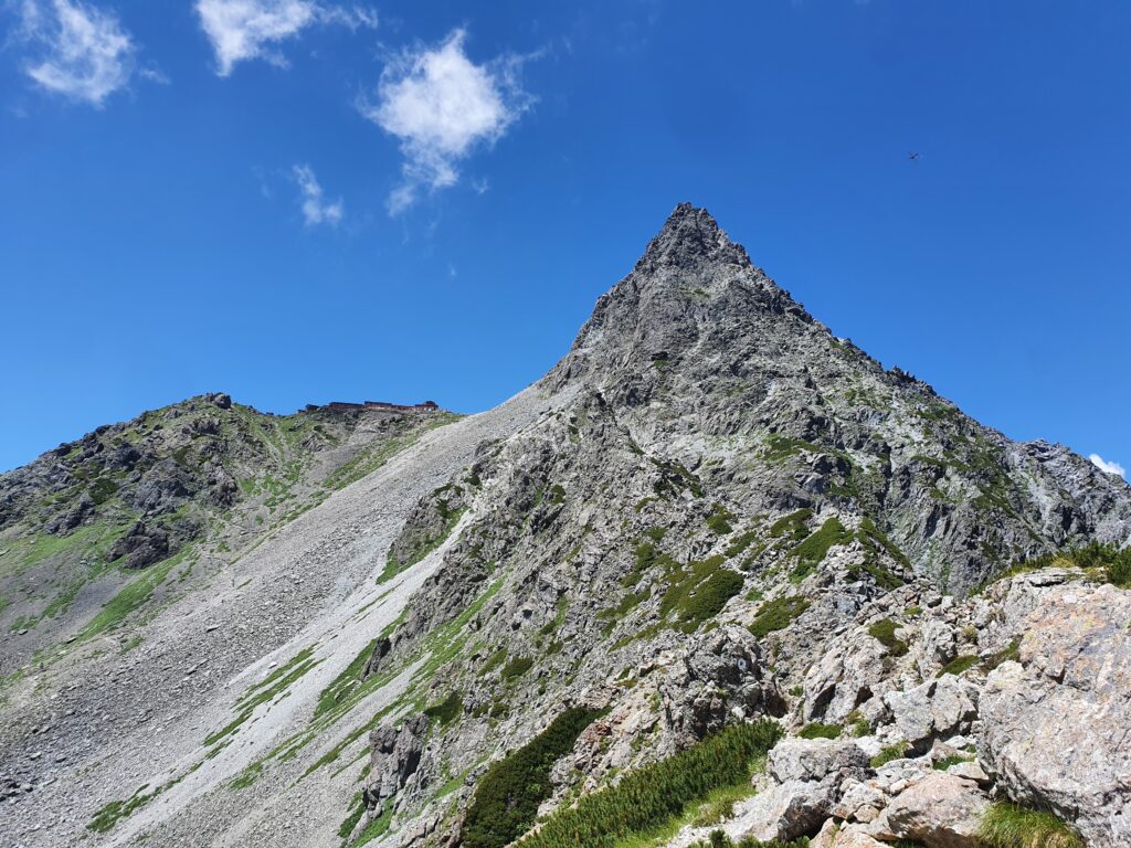
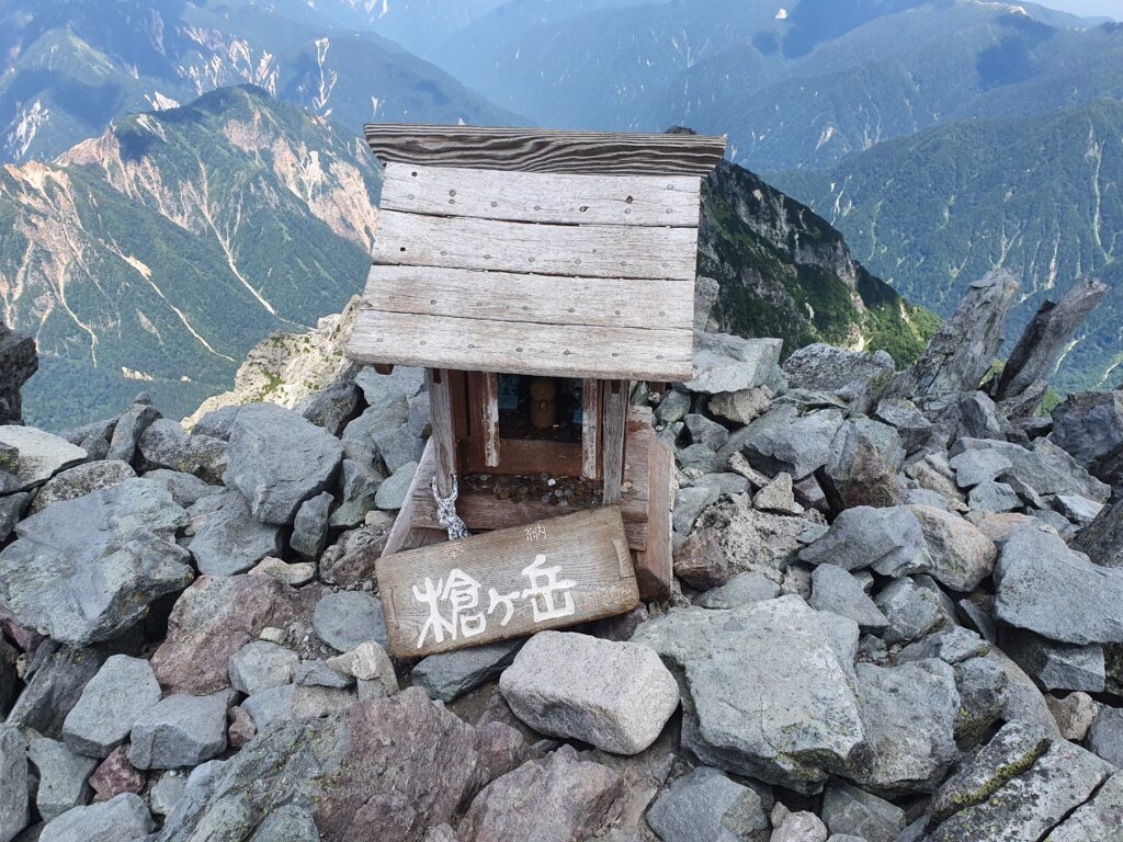
The next morning I rose with the sun and was on the way a little after 6am. I wasn’t happy with my pace, because it took me over two hours to get to the Nishidake peak, but of course I had plenty of leeway. I descended into the steep and unstable Higashikama ridge, which would take me all the way up to Mt Yari. In rockier places it’s easy to lose sight of the trail and end up on even worse unstable rocks. I found my way and reached the summit of Mt Yari at high noon. Clouds were rolling up from the west side of the mountain, so I quickly retreated into the hut. An hour or so later a quick summer storm rolled in…
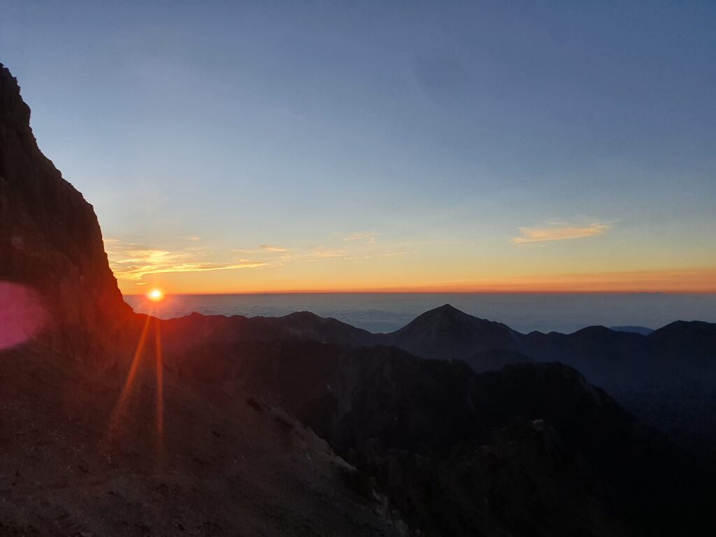
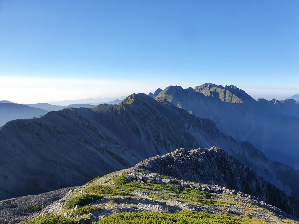
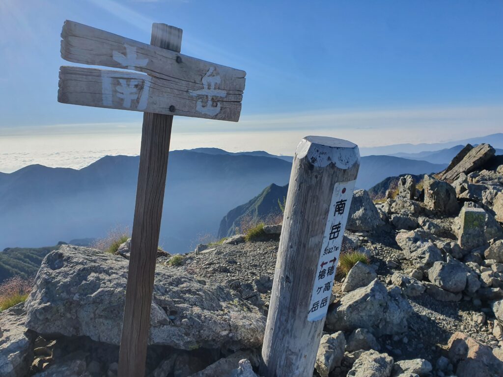
Luckily the clouds were gone by the morning and I could start the day in perfect weather. The third day was dedicated to crossing from Mt Yari to Mt Hotaka, which includes traversing the famous Dai-Kiretto and scaling the rock wall of Mt Kita-Hotaka.
I was on the way well before 6am and reached the edge of the Dai-Kiretto in under two hours. Put my helmet on and dived in.
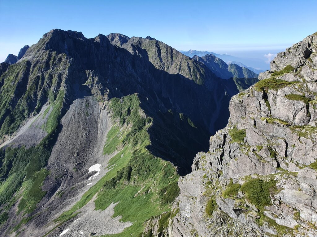
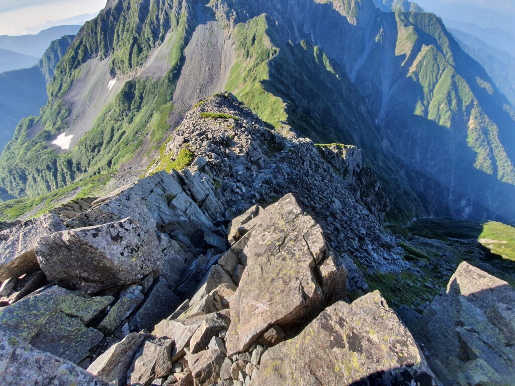
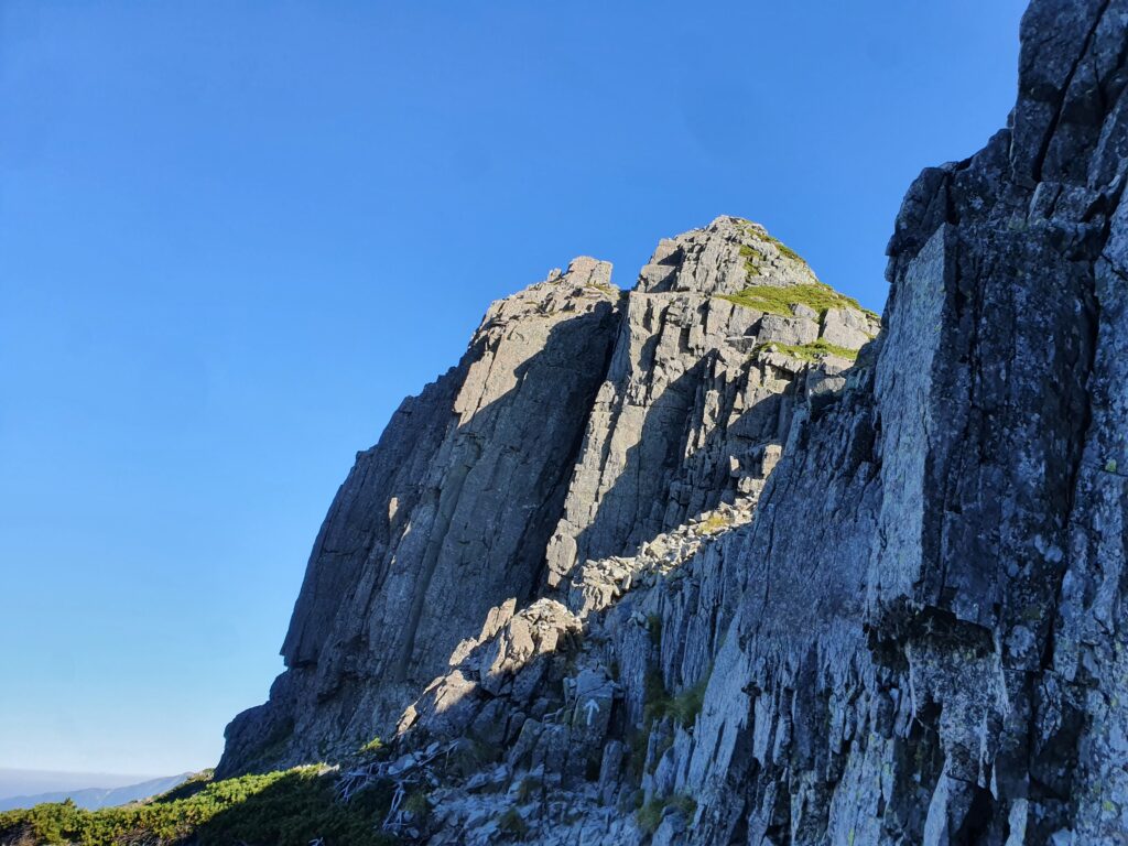
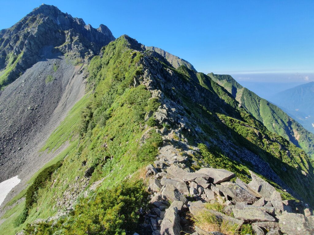
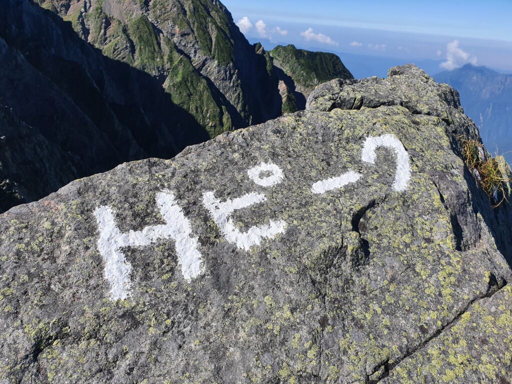
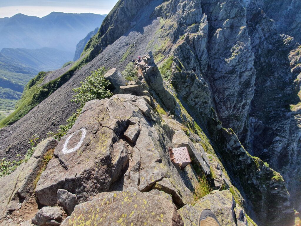
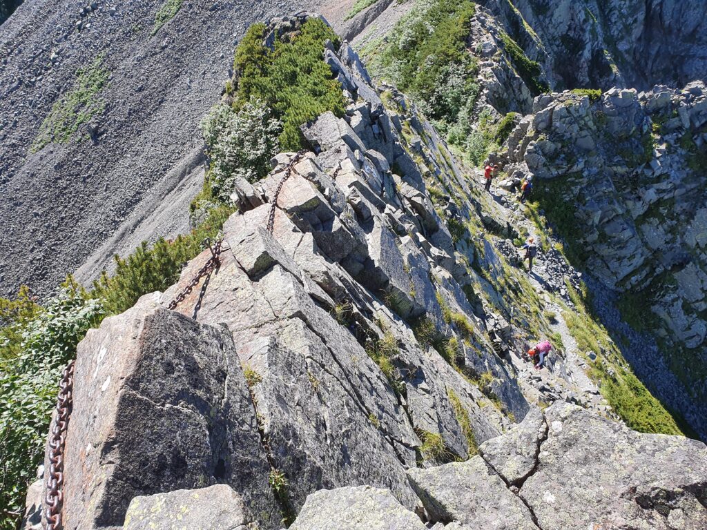
The trail is well maintained, but it’s still fragile (especially with the huge number of earthquakes in the area this year) and drops off into steep slopes (or do these count as cliffs?) on both sides. I reached the Hasegawa peak (about half way) in an hour. That central area is pretty much the definition of a “knife ridge.” There’s still a lot of drops and climbs, though mostly reinforced by chains.
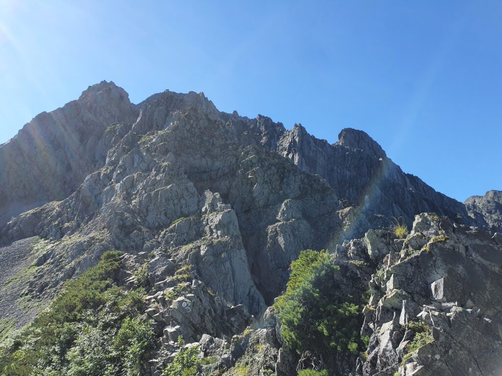
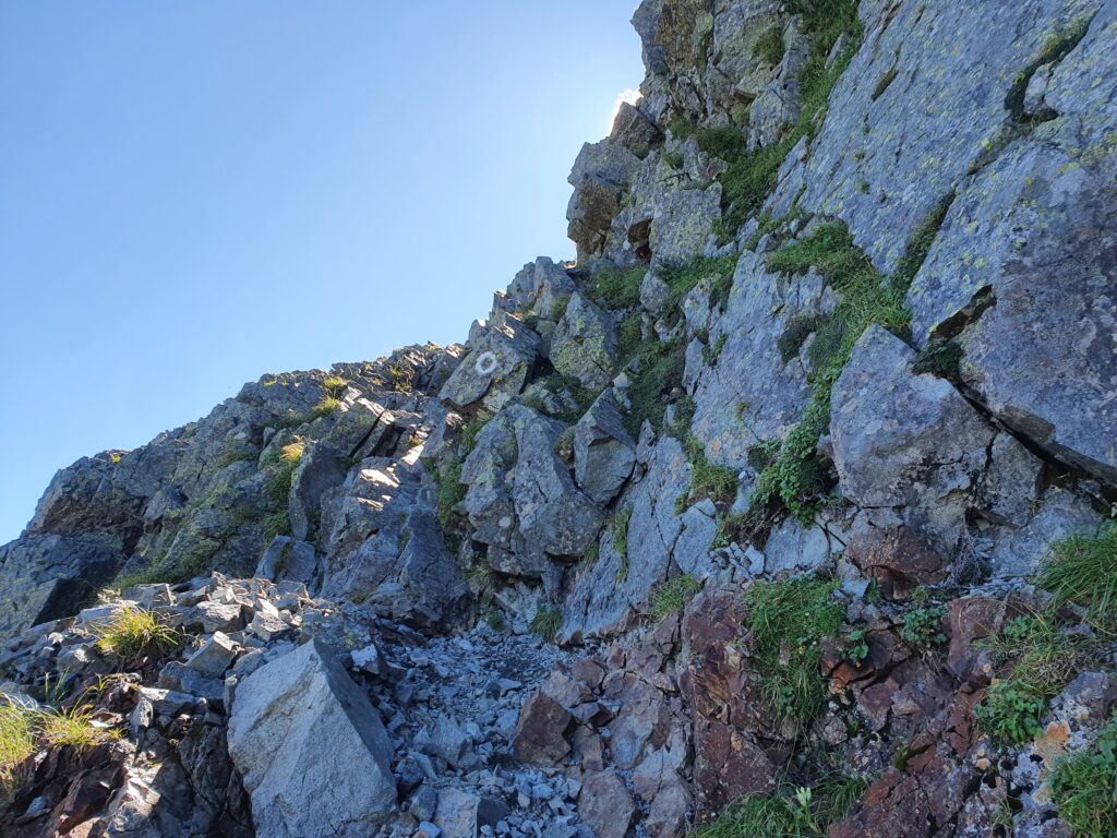
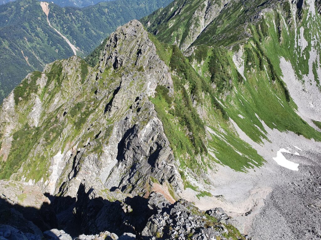
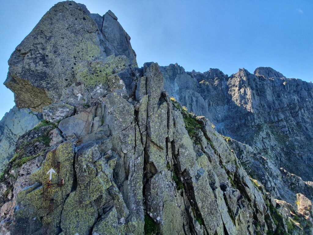
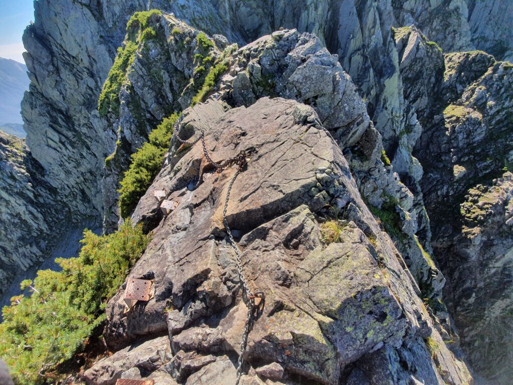
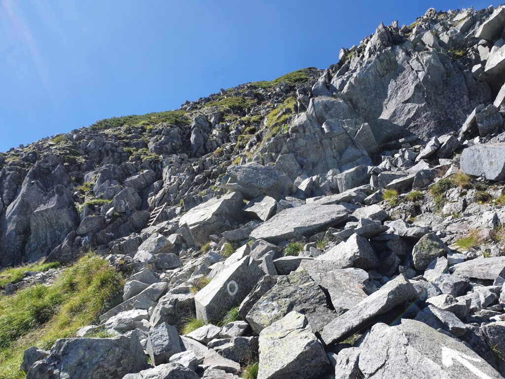
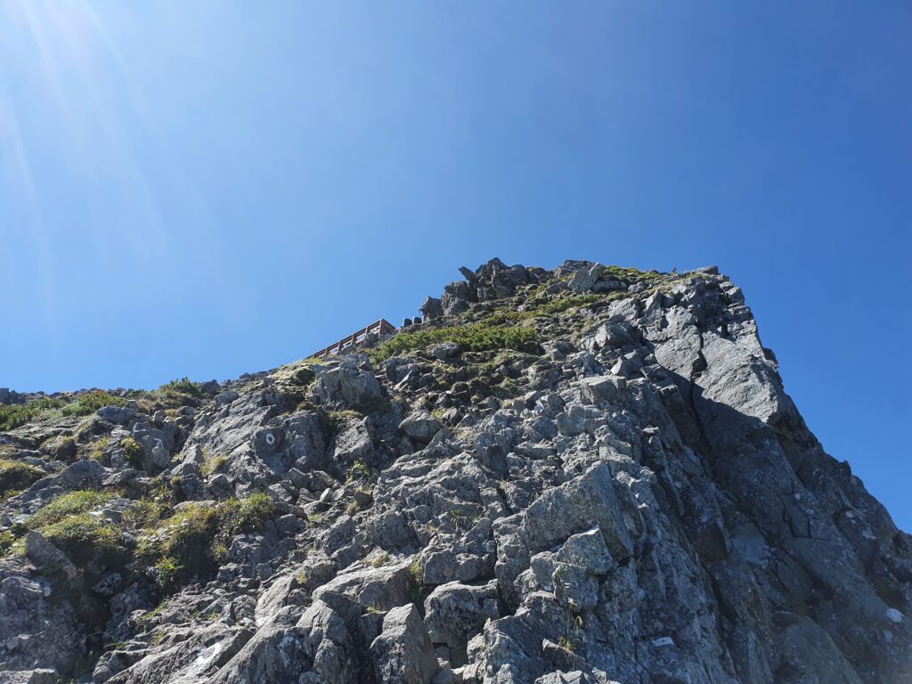
Just when I thought the “tough parts” were over, the ridge ran into the sheer rock wall of Kita-Hotaka. The trail followed suit and ran up the wall almost vertically. And it kept going up and up and up without getting any less difficult either. I was honestly relieved when I finally spotted the Kitaho summit hut (of course right above me). Crossing the whole Dai-Kiretto from Minamidake to Kita-Hotaka took a little over two hours.
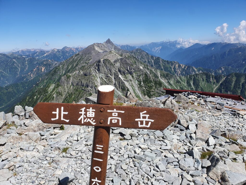
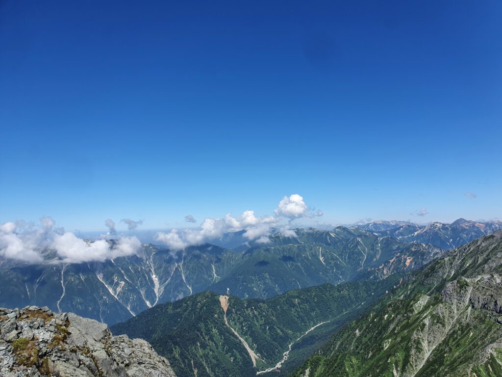
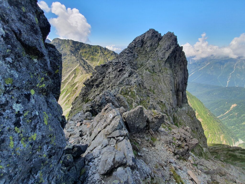
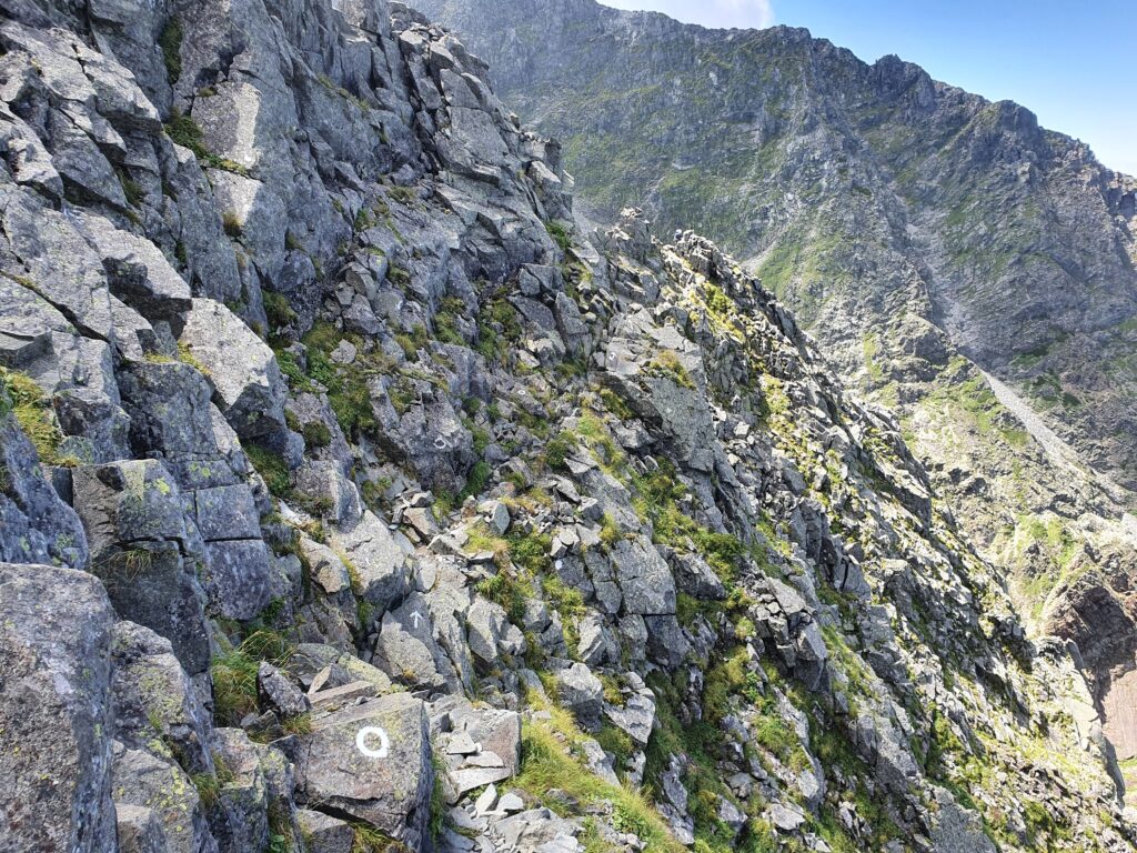
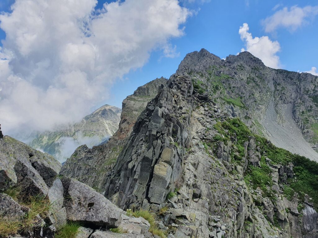
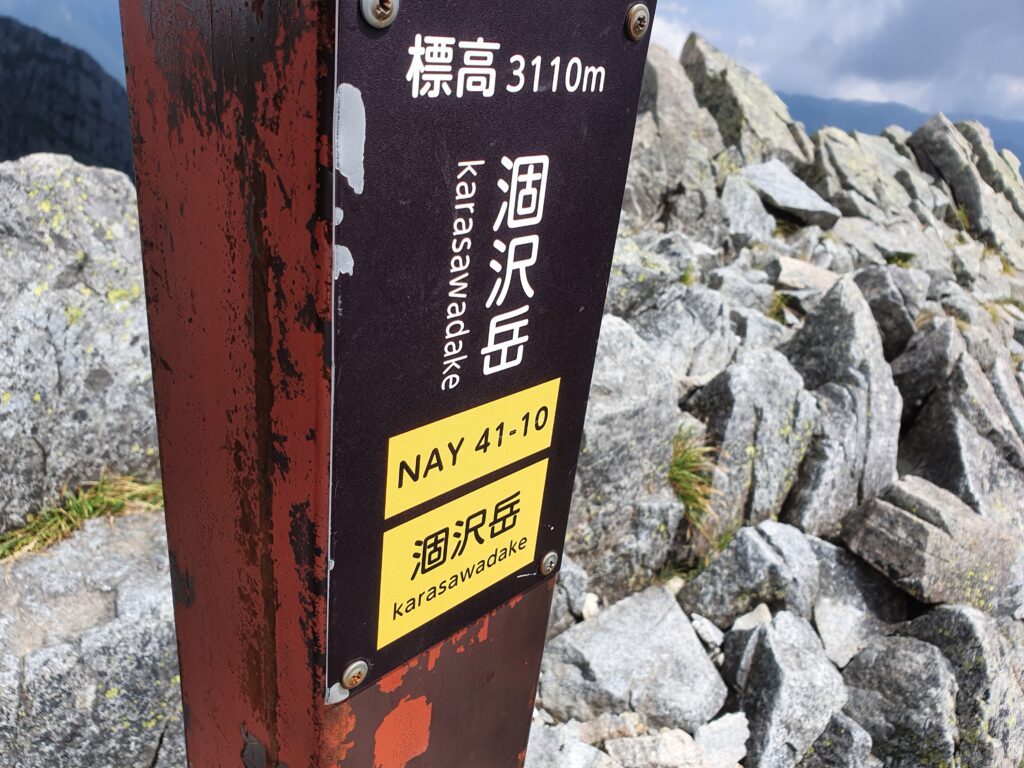
I took a break and continued. Passed the actual summit for a few pictures then continued along the ridgeline towards Mt Karasawa. It wasn’t getting any easier or gentler. Lots of ups and downs, all on steep rocky terrain. By the time I reached the Karasawa peak two hours later, I was ready to call it a day. Luckily the Hotaka hut (where I’ve stayed once before) was a (relatively) easy descent from there, pretty close too.
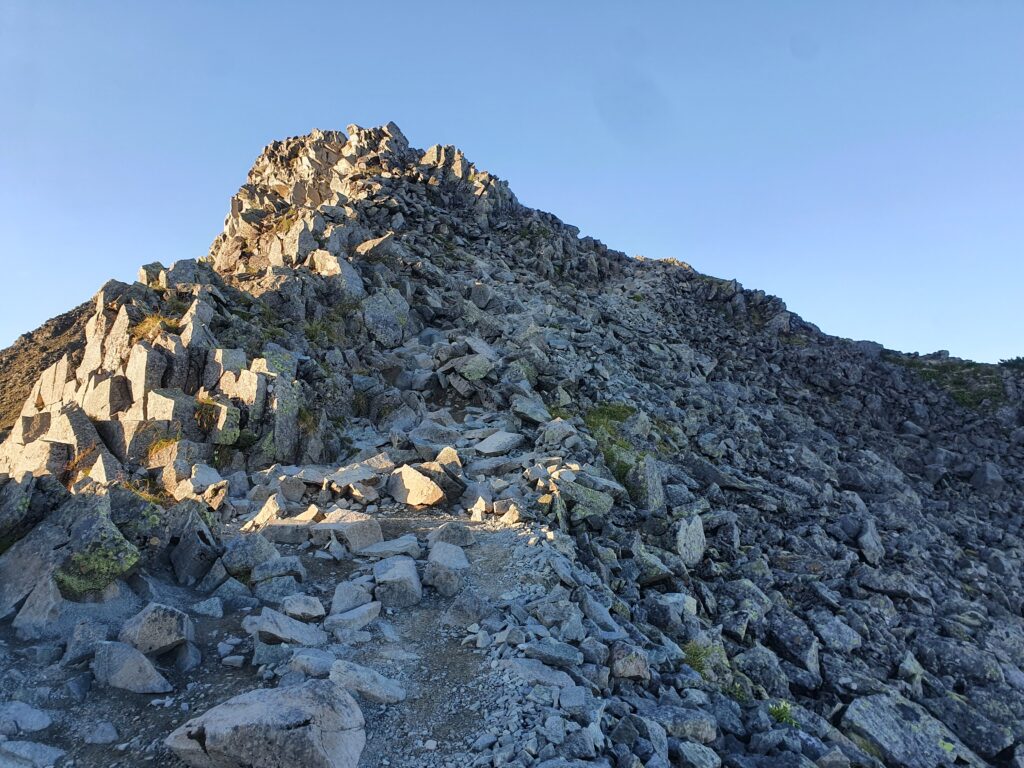
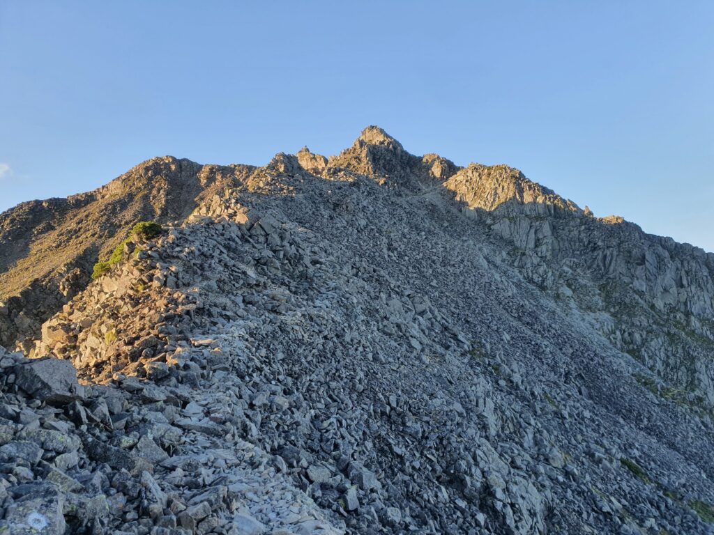
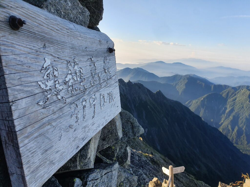
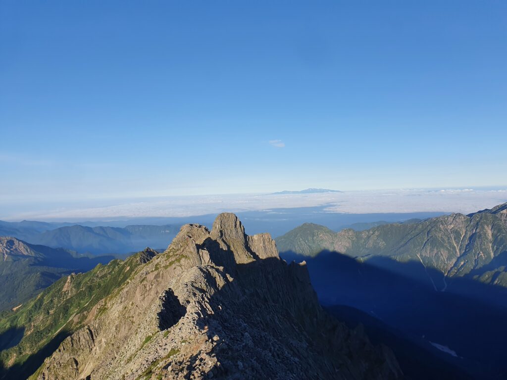
The route up to the Mt Hotaka summit was much more easier without the collapsing snow of early summer. I was well rested too in the morning, so I reached the summit in half an hour. That’s where the final, exciting leg of my hike would start: the advanced route over the Hotaka Gendarme towards Nishi-Hotaka. Felt exciting to stroll past the “dangerous route, for advanced climbers only” sign.
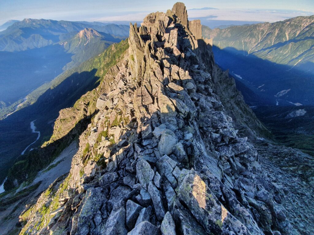
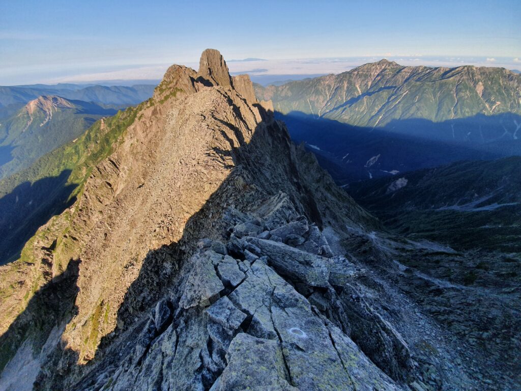
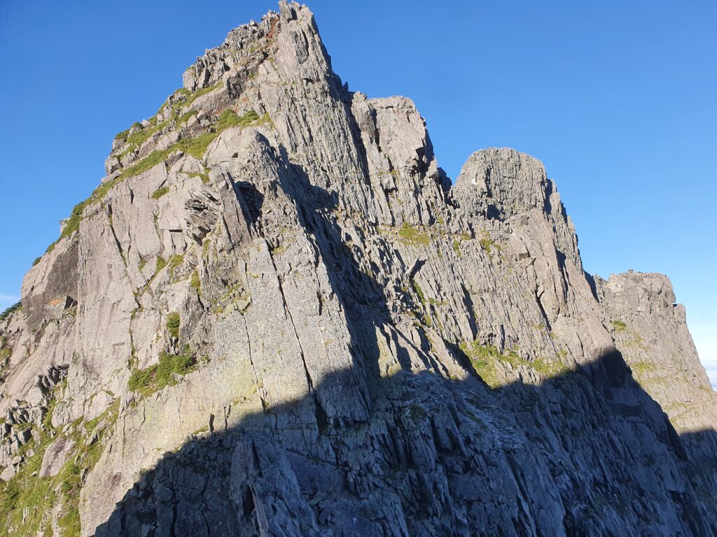
It really was pretty dangerous. While the route is mostly marked, it’s very easy to lose sight of the markings and end up in quite iffy situations. The Nishi-Hotaka area had a huge share of earthquakes this year meaning there was even more loose rock than usual. Since it’s an unstable and dangerous route, it’s much less well equipped with chains and other such aides than the kiretto the day before.
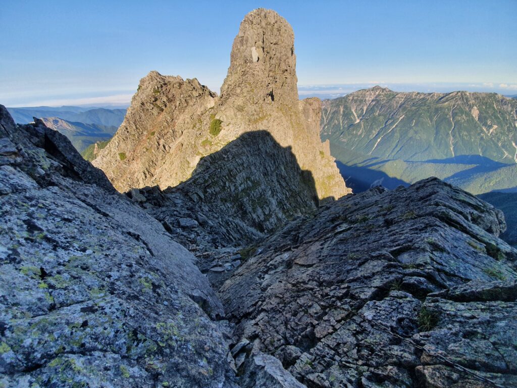
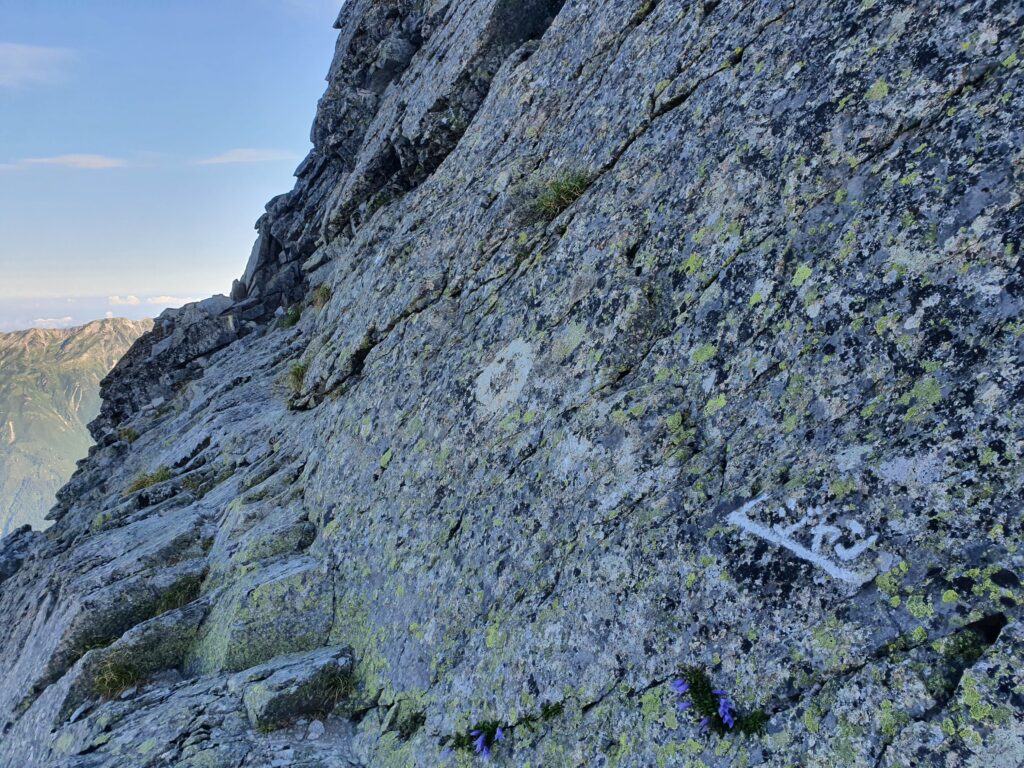
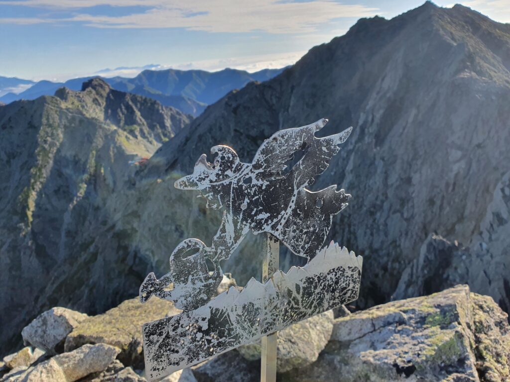
While it’s possible to climb the Gendarme head-on straight from the Hotaka direction, there is no official (maintained) route there. (People die attempting that.) The route skirts around the rock and scales it from the back. The white markings on the light rock are extremely easy to miss: I couldn’t find them until I saw someone coming down from the top.
I personally consider reaching the weathered angel of the Gendarme my biggest achievement for the year (after the Aconcagua summit). But it was still too early to celebrate: the route on to Nishi-Hotaka and the hut beyond wasn’t gonna get any easier.
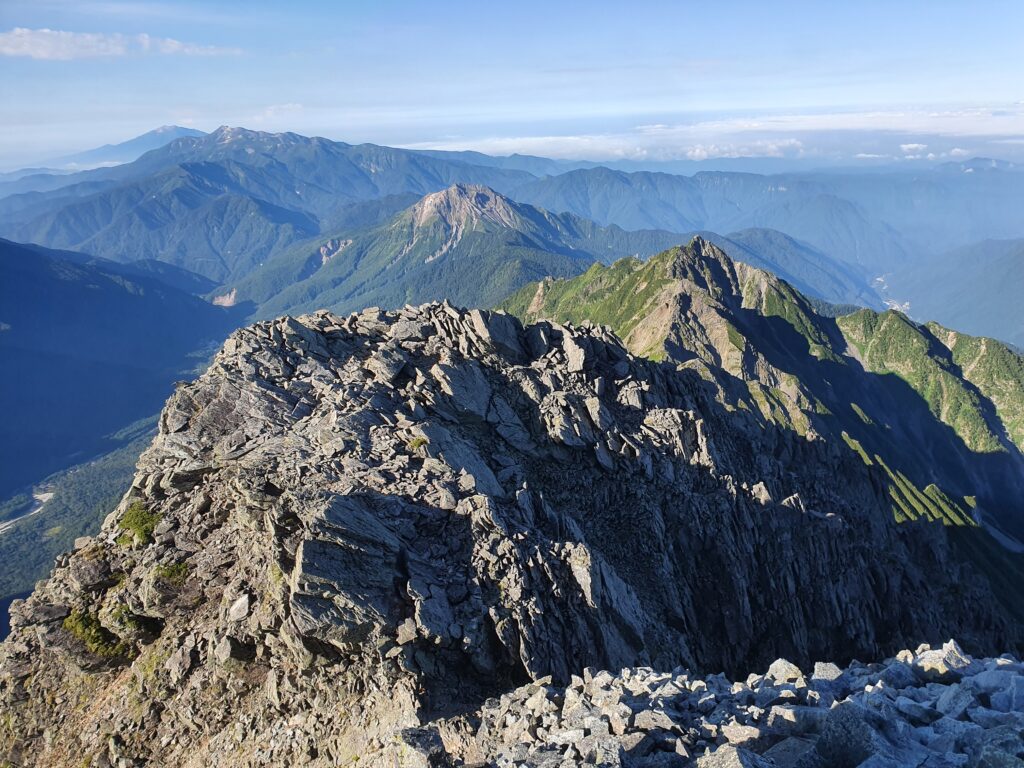
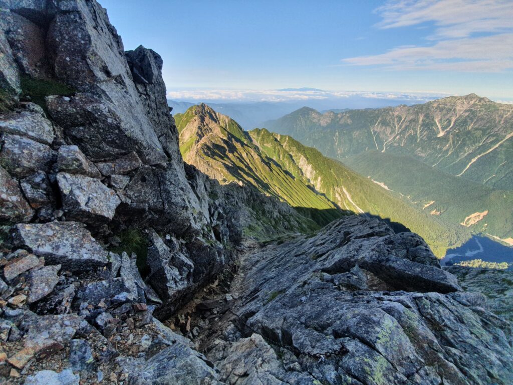
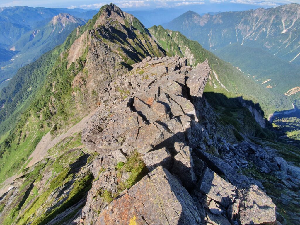
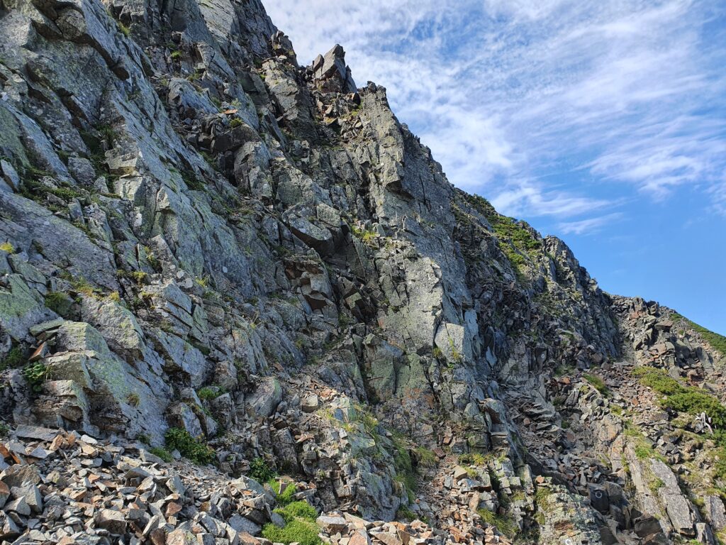
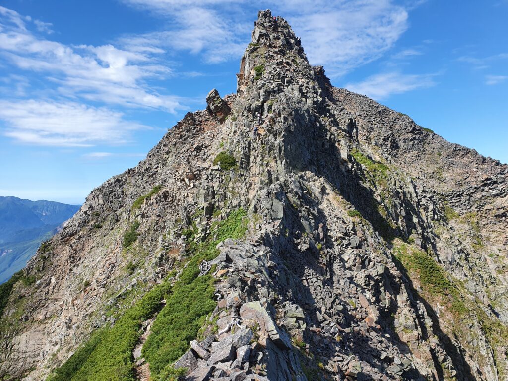
There were lots and more of ups and downs. Scale a boulder just to drop lower on the other side. Scramble down a slippery slab just to face a vertical wall right after. The route was marked, but that didn’t make the rocks any less unstable or steep.

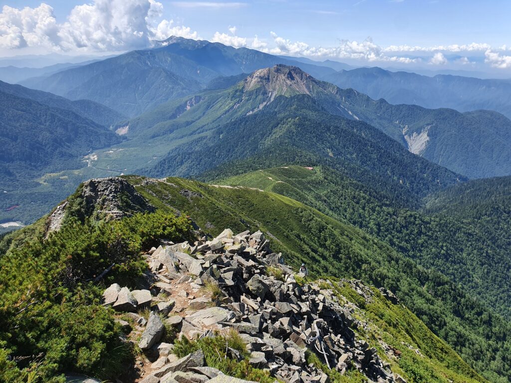
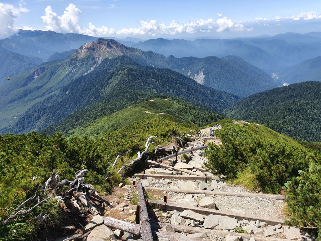
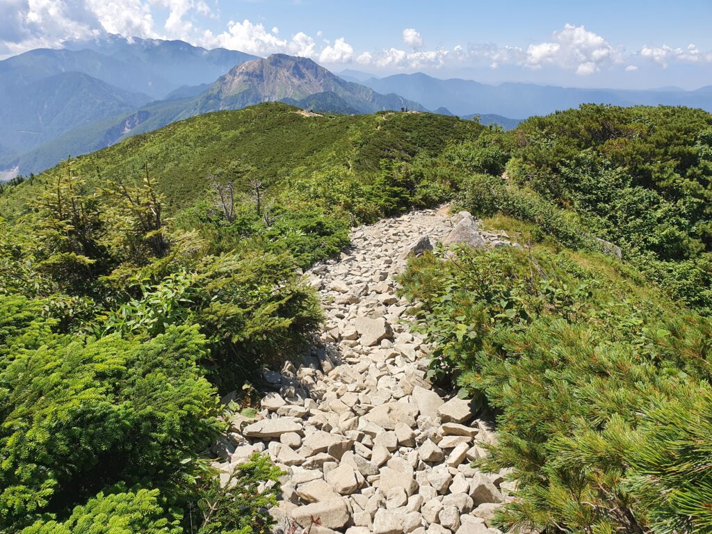
It got relatively easier once I reached the summit of Nishi-Hotaka. It and the few peaks lower on the ridge are a popular destination, though even Nishi-Hotaka is considered advanced territory. There was a tag team of two girls roped together with a guide heading there, really shocked that someone would come from the opposite direction. After the Doppyo, the trail becomes tourist-safe (and even with covid there were plenty of tourists).
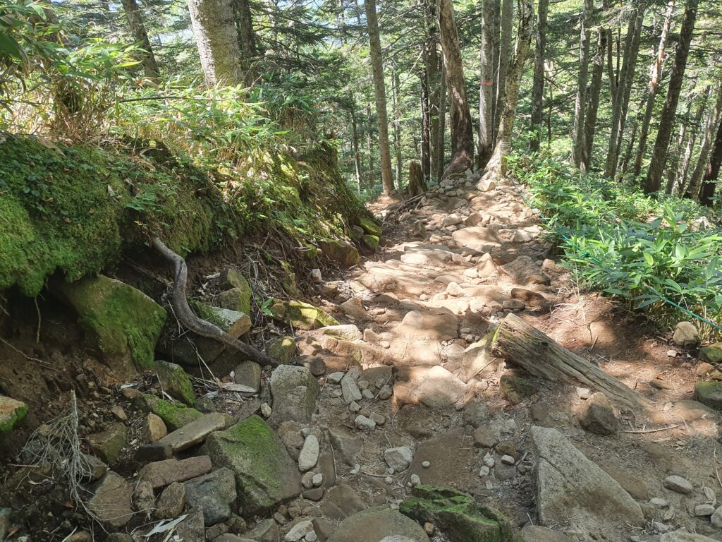
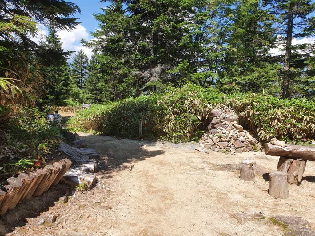
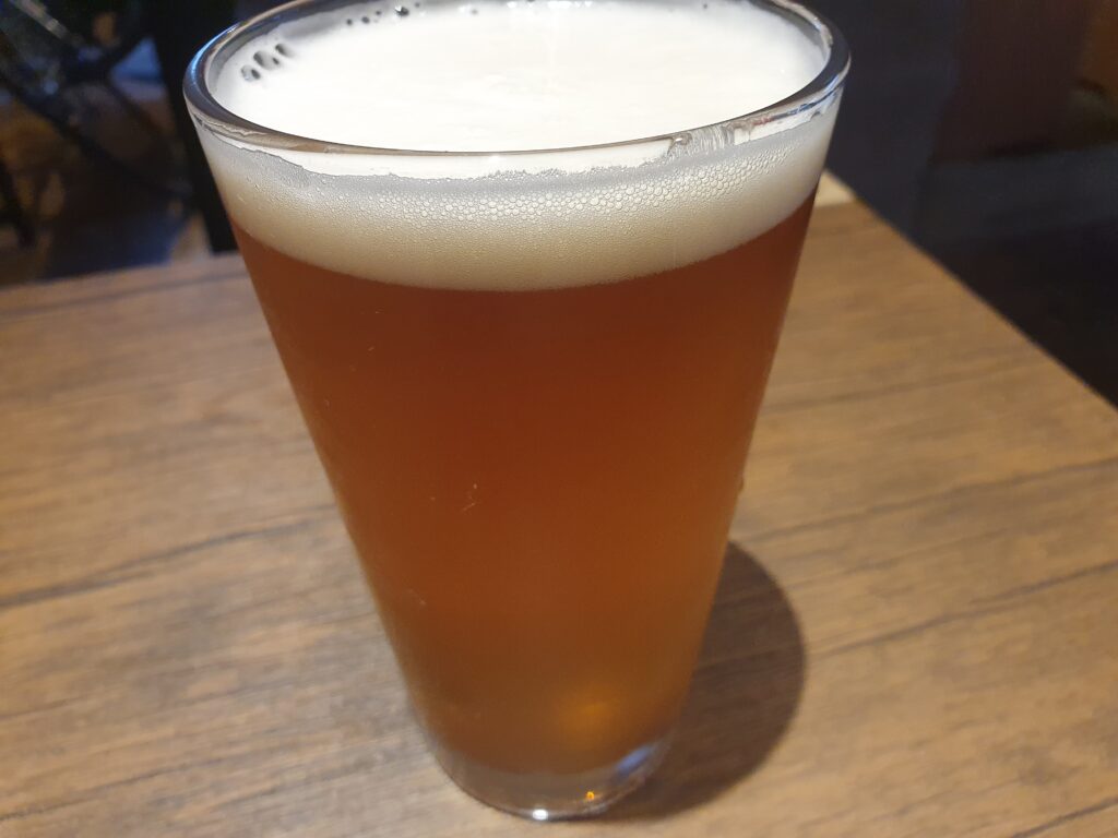
I was considering staying for one more day and climbing Yake-dake again, but the weather forecast was bad (huge storm incoming) so I decided to head for the ropeway instead and return to civilization. I reached the ropeway right at noon. I had the compulsory hot spring visit in Hirayu then took the bus to Takayama for some sightseeing (and beers). Fantastic end of a fantastic total 8 days spent in the mountains.
